Mapillary is Building a Crowdsourced Street View with User Submitted Photos
Google’s well-known Street View service is one of several monumental efforts to document the world’s travel routes through ground-level photos. These projects generally use fancy camera rigs on cars, backpacks, and even camels to capture their images.
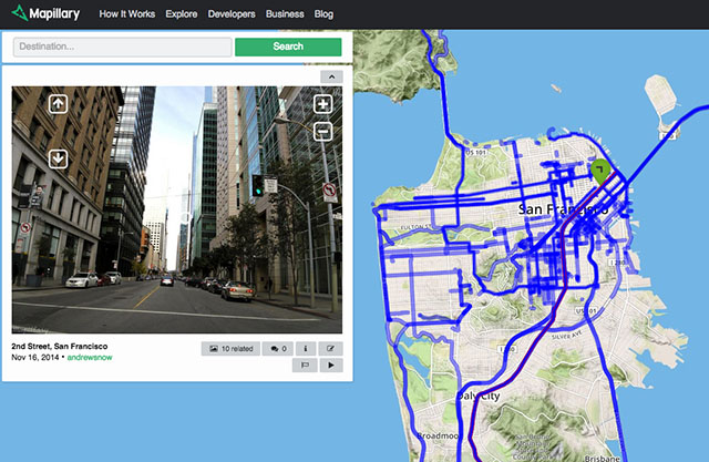
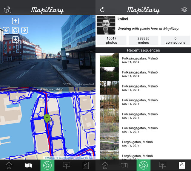
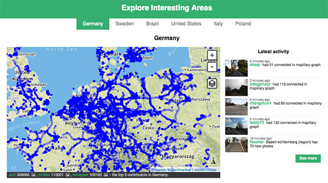
Mapillary is a startup that’s trying to do things a little differently. Instead of taking the grunt work of photo-taking upon itself, the service is building a crowdsourced Street View competitor using photos submitted by users.
Members of the service are asked to shoot and submit photos using their cameras or a special Mapillary app that’s available for iOS, Android, and Windows Phone.
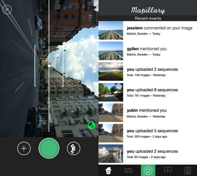
The service takes the photos and uses fancy computer vision technology to match and combine photos across time and across users. Blur is also automatically added to faces and license plates in photos to preserve privacy.
“We want to help you visualize every place you care about,” the company says. “We’re on a mission to empower this community to visually map the world with simple tools and little effort.”
“We believe a motivated person can capture the important and interesting details of any environment and neighborhood better than any single authority using cars can.”
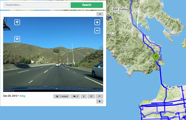
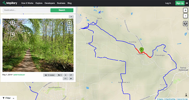
You can browse the Mapillary map through your browser or directly through the app.
Mapillary (via Imaging Resource)