
This AI Can Geolocate Photos Faster and More Accurately Than Any Human
Researchers at Stanford University have developed an AI that can geolocate a photo in a matter of seconds.

Researchers at Stanford University have developed an AI that can geolocate a photo in a matter of seconds.

A photo location expert has made a tutorial explaining how to find the exact location of a photo with just a few clues.

Excire Foto positions itself as able to help photographers tag, organize, and search their images quickly, including the capability to search through images to the level of discerning if subjects in them are smiling or not. It sounds powerful, but how helpful is it really?
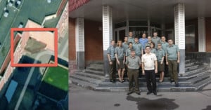
As the war in Ukraine rages on, an investigative team geolocated a Russian cruise missile program from a single group photo.
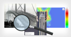
Here is a little exercise to show how we can do things in this modern world. This is not one of those whacky geo-location stunts, this is just ordinary research, some simple geometry, and some careful guessing.

When Apple announced the AirTags last week along with the new iMac and iPad Pro, photographers immediately thought these might be able to help find stolen equipment. However, what is being called an "anti-stalker" privacy feature made it seem like that might not work. Luckily, Apple's design addresses this.
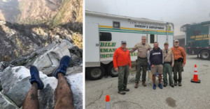
A hiker who had been missing in the mountains of Southern California was found after a Twitter user pinpointed his location from the last photo the hiker sent to a friend, which was shared by authorities on social media.
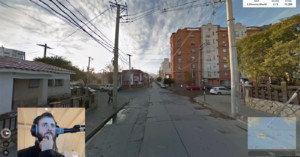
Many cameras these days can use GPS modules to geotag digital photos with the exact location they were captured from. If you have an outdoor photo with no geolocation data, however, all you need to do is bring it before Tom Davies, a geography wiz who can study the features in a photo to deduce where it was shot, sometimes with an accuracy down to several feet.
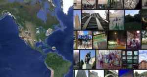
In 2018, I launched a Kickstarter project called You Have to See This Place, “an experiment involving places and photos.”
One of the most hotly debated questions for landscape photographers is how to answer the age-old question, “Where did you shoot that?” While the question is simple enough, whether to answer (and how to answer) is an internal question many shooters contend with in the age of Instagram.

Sherpa is a free iOS app that turns top geotagged Instagram photos in to a travel guide and location scouting tool.
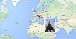
Geotagging is usually done using a built-in GPS system, but in the future it might be possible to figure out where a photo was shot just by showing the picture to an artificial intelligence program.
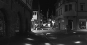
A clever new project called Location-Based Light Painting is putting a new spin on visualizing the number and specific location of photos taken in any particular spot.
Using a custom-built iPhone app, a speedlight, long exposure photography and geolocation data readily available online, the project literally 'paints' each location into a separate photo to create haunting orb-covered landscapes.
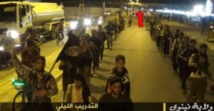
Using photographs released by the militant group ISIS (The Islamic State of Iraq and Syria) and satellite imagery openly available to everybody, a group of crowd-funded citizen journalists believe they have pinned down the location of an ISIS training camp.

With the prevalence of smartphones and the massive photo community that is Instagram, it's no surprise that news outlets and journalists are more and more frequently turning to the service to source photos for major events. Unfortunately, Instagram's search functionality is almost non-existent. That's where the new open-source search tool QIS comes into play.

The photograph above shows the location where the following Tweet was posted:
Love hiding in the back at work because I have a 35 year old creeper. #scared #help
It's one of the photos in a project titled Geolocation: tributes to the Data stream, by photographers Nate Larson and Marni Shindelman. Each image in the series shows the location were a particular geotagged Twitter Tweet was posted.