Landsat’s Images Are Vital in the Fight Against Climate Change
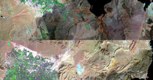
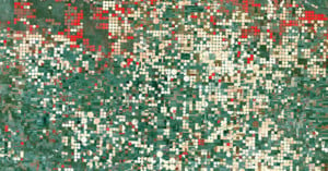
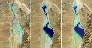
This week, NASA Goddard released a new video that highlights the Landsat program's achievements in 2023. A joint mission between NASA and the United States Geological Survey (USGS), satellite imagers have been orbiting Earth since Landsat 1 was launched in July 1972.