Landsat’s Images Are Vital in the Fight Against Climate Change
This week, NASA Goddard released a new video that highlights the Landsat program’s achievements in 2023. A joint mission between NASA and the United States Geological Survey (USGS), satellite imagers have been orbiting Earth since Landsat 1 was launched in July 1972.
Landsat 9, the most recent Landsat mission, commenced in September 2021 and has delivered vital, uninterrupted data of Earth’s surface and its many changes. A major component of the Landsat missions is monitoring long-term shifts in temperature, weather patterns, and geography.
In the new highlight video, NASA shows decades of progression and changes across different regions, like sea level changes in the Aral sea from 1984 to 2022, deforestation and urban sprawl in Nyapyitaw, Myanmar over the same period, and how many lakes around the world have increased and decreased in size.
Landsat helps show micro-level human activity at a macro scale, which can put dramatic changes into perspective where they might otherwise go unnoticed. For example, gradual increases in sediment in rivers due to alluvial mining can be difficult to monitor at ground level in real-time, but by using nearly 40 years of Landsat data, researchers can track global mining activity and its impacts on rivers.
This is especially important in regions where there may not be accessible data concerning mining activity. The mining is impossible to miss when poring over Landsat data.
As Landsat satellites have incorporated improved imaging technology, including data across wider wavelengths, the data available to scientists and researchers has only become richer and more useful.
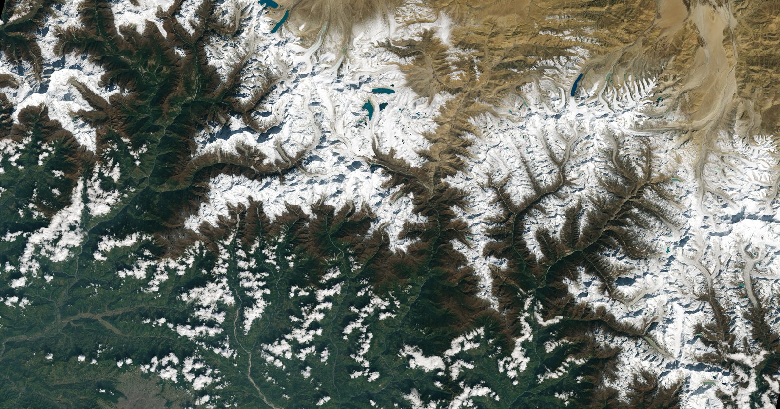
Not every large-scale environmental change is due to human activity, either. While human behavior’s connection to weather patterns is not quite fully understood yet, it’s evident that there are natural shifts from year to year. Landsat can monitor these as well.
Landsat has also been instrumental in aiding vital research on global water levels in lakes. Around 25% of the world’s population relies on lakes that have experienced water loss over the last 30 years.
As Landsat satellites have watched lake water levels decrease, they’ve watched sea levels rise, which has dramatic impacts on a wide range of sensitive and critical ecosystems, like reef islands, mangroves, and tidal marshes.
The Landsat program is slated to expand significantly with Landsat Next, due to launch in late 2030. Landsat Next will offer two to three times the temporal, spatial, and spectral resolution of Landsat 9.
Image creditsFeatured image credit NASA and the United States Geological Survey