Modern Drone Technology Reveals Secrets of the Battle of the Bulge
Archeologists using a drone equipped with high-resolution LiDAR have revealed thousands of previously unknown details from the U.S.’ largest and bloodiest World War II battle.
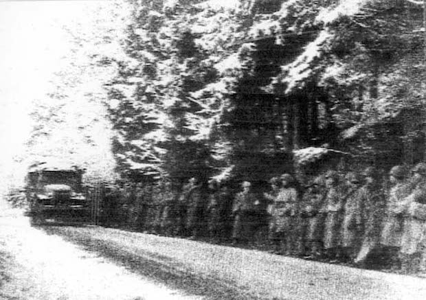
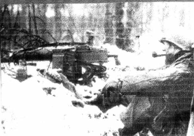
The Battle of the Bulge raged from December 1944 to January 1945 and was Germany’s final major offensive of the War before retreating permanently. The U.S. suffered an estimated 81,000 casualties while the Germans under Adolf Hitler had more than 100,000 die.
Surprisingly little is known about the battlefield’s features because of the dense forest in the area that covers most traces.
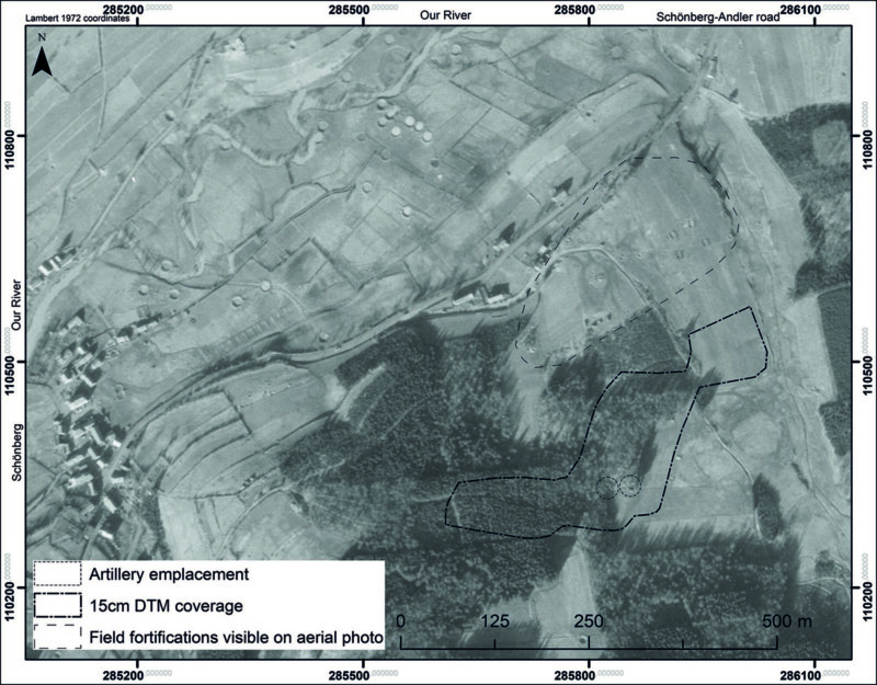
Aerial photographs are no good because the forest canopy protects the battlefield while it is too large an area to survey on foot.
“Although this is a ‘high-profile’ battlefield, studied intensively by military historians and the subject of significant attention in museums and the popular media, little has been published on its material remains,” lead author of the research, Dr. Birger Stichelbaut from Ghent University tells Phys.org.
Dr. Stichelbaut employed a drone mounted with LiDAR to survey the battlefield and published the results in the Antiquity journal.
How Does LiDAR Work?
LiDAR uses a laser to build its images by measuring the time it takes for the reflected light to return to the receiver. In this particular case, the researchers used SLAM-LiDAR to create a high-resolution map of the Battle of Bulge area.
“This allowed for traces of the battle to be observed on a scale not known until now,” says Dr. Stichelbaut.
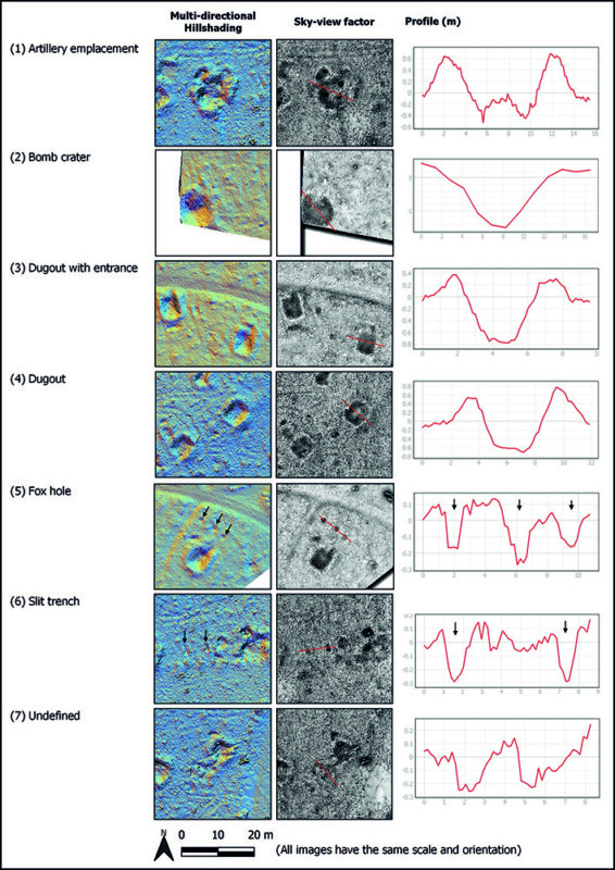
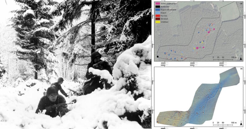
The team uncovered many points of interest, including dugouts, bomb crates, and artillery locations. A ground team then went and inspected these sites and tied them to specific events. In one case, they determined that German troops had made use of an abandoned American artillery emplacement
This vital new information provides a deeper understanding of the battle and how it developed.
The technology may be deployed to other wooded areas of Europe that saws battles during World War I and World War II. It could also be used to protect valuable heritage sites.
“Our case study makes clear that there is potential for enhancing public awareness of and access to some sites in the Ardennes,” write the authors.
“The recognition and designation of these traces of war as heritage sites could help guarantee their long-term protection from destructive practices, including the mechanized clear-felling of forest.”
Image credits: Header photo partially Creative Commons.