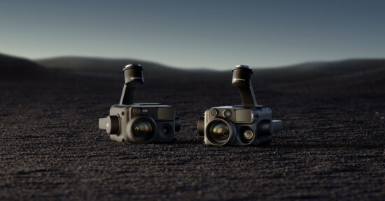
DJI Zenmuse L2 Uses LiDAR, 20MP Sensor to Deliver Detailed 3D Data
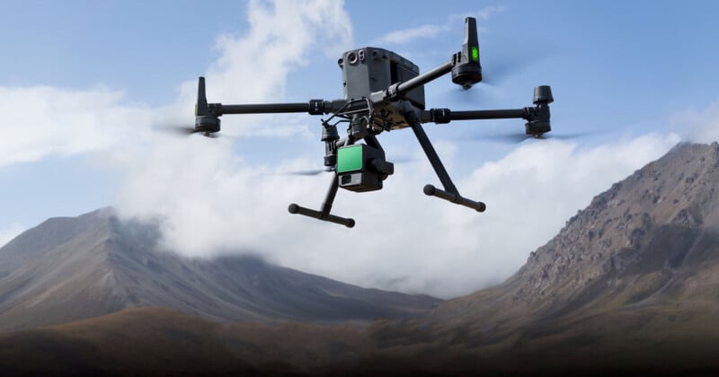
DJI has announced the DJI Zenmuse L2, a “highly-integrated LiDAR system which builds on DJI’s successful Zenmuse L1.”
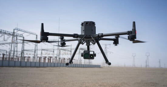
The Zenmuse L2 features an enhanced RGB camera, an upgraded LiDAR module, and improved accuracy, which DJI says will benefit any enterprise professional user with a DJI Matrice 300 RTK or DJI Matrice 350 RTK platform that requires more precise 3D data acquisition. Further, when using DJI Terra, the company’s 3D model reconstruction software, the Zenmuse L2 “delivers a turnkey solution for 3D data collection and high-accuracy post-processing.”
“The DJI Zenmuse L2 marks a new era of 3D data acquisition,” says Christina Zhang, Senior Director of Corporate Strategy at DJI. “Three years ago DJI was excited to introduce a reliable and cost-effective LiDAR system for aerial platforms used by land surveyors, electricity inspectors, and forestry professionals, to name just a few. This aerial data is paramount in providing real-time 3D data, efficiently capturing the details of complex structures and delivering highly accurate reconstructed models. With our aim of promoting industry development in all enterprise verticals, we are continuing to tackle user pain points through technical innovation and reshaping industry productivity.”
Aerial LiDAR technology, such as what is promised by the Zenmuse L2, is vital for professionals in land surveying, mapping, electricity inspection, forestry, and infrastructure management. Using the DJI Zenmuse L2, it is possible to swiftly collect three-dimensional spatial information. Compared to manual measurement methods, Zenmuse L2 promises to significantly reduce the workload and time required to perform measurements and increase overall accuracy.
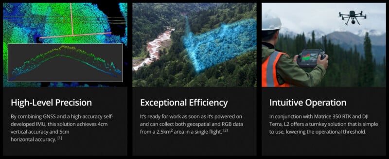
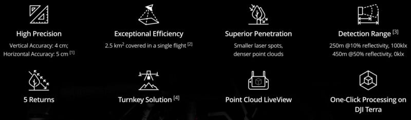
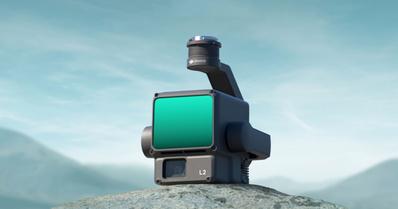
The Zenmuse L2 includes LiDAR, a DJI-developed IMU system, a Four Thirds CMOS RGB camera, and a three-axis gimbal. The IMU system has been “significantly enhanced” and works alongside a drone’s RTK positioning system to ensure accurate data fusion during post-processing using precise position, speed, and altitude information.
Compared to its predecessor, the Zenmuse L2 promises a 30% increase in detection range, able to detect objects from 250 meters at 10% reflectivity and 100k Lux and up to 450 meters at 50% reflectively and 0k Lux. The operation altitude is also extended up to 150 meters, promising better operational safety and efficiency.
“With a reduced spot size of 4×12 cm @100m, only a fifth of that of the Zenmuse L1, the Zenmuse L2 not only detects smaller objects with more details, generating more accurate digital elevation models (DEM) but supports five returns, capable of penetrating denser vegetation and capturing more ground points beneath the foliage,” writes DJI.
The Zenmuse L2’s 20-megapixel Four-Thirds sensor has a mechanical shutter and a large pixel size (3.3 μm). DJI says it offers a “significant improvement” in overall imaging performance. The device’s photo capture interval has been reduced to 0.7 seconds, and the mapping camera is rated for 200,000 shutter cycles.
While aimed at specialized professional applications, it is also interesting to see what companies like DJI are developing. The Zenmuse L2 sports some exciting imaging technology. The Zenmuse L2 will be available through DJI’s official store and enterprise partners shortly, starting at $13,560.
Image creditsDJI
Affiliate Disclosure PetaPixel articles may include affiliate links; we may earn a commission if you buy through one.