Google Earth Adds Historical Imagery to Track Location Changes Over Time
Google Earth is getting new historical imagery added to it with some pictures dating back to the 1930s.
The expansion of historical imagery in Google Earth was announced alongside more countries coming to Street View and the globe getting AI treatment on Google Earth and Maps.
Historical Imagery on Google Earth
In a blog post, Google says it is adding more historical imagery to Google Earth on the web and on mobile.
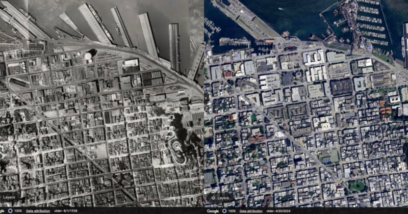
It gives the example of an aerial black and white photo taken of San Francisco in 1938 by Oakland Airport pilots. A modern comparison photo shows how the Californian port has changed in the intervening 85 years; shipping and industry have been replaced by restaurants and cruise ships are docked in the harbor.
Users of Google Earth can take advantage of all this extra historical data with the “Timelapse” feature allowing users to visualize how specific locations have changed over time. As well as making their own timelapses, users can browse pre-existing timelapse videos of locations from around the globe.
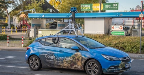
Steet View Expanded to 80 Countries
Google Street View imagery has been updated in almost 80 countries including Australia, Argentina, Brazil, Costa Rica, Denmark, France, Iceland, Japan, Mexico, New Zealand, Philippines, Rwanda, Serbia, Spain, South Africa, Switzerland, Uruguay, and many more.
Some of these countries are getting Street View imagery for the very first time and capturing the 360-degree photos is getting easier thanks to Google’s latest camera which only weighs 15 pounds and can be mounted on any car.
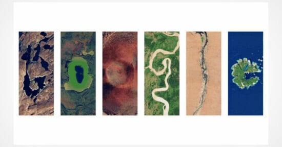
An AI Update to the Globe View
The view of the globe on Google Earth and Maps is also changing thanks to an AI model that can remove clouds resulting in a brighter, more vibrant view of Earth.
“We’ve used our Cloud Score+ AI model, trained on millions of images, to recognize and remove things like clouds, cloud shadows, haze and mist,” Google explains.
“At the same time, this model keeps real-world weather patterns — like ice, snow, and mountain shadows — visible on the map. The result is a refreshed global mosaic that gives you a clearer, more accurate look at Earth.”