AirMap Lets You Look Up Where You Can Legally Fly Your Camera Drone
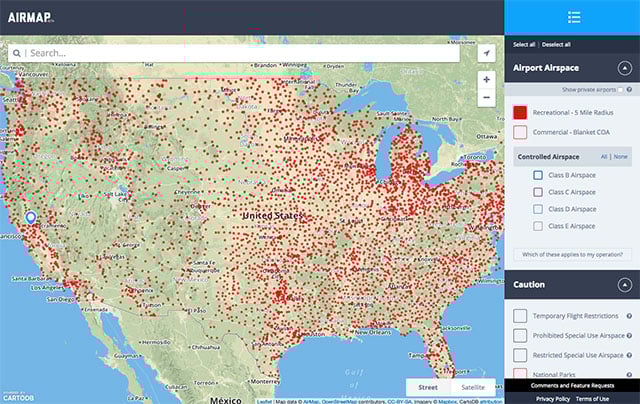
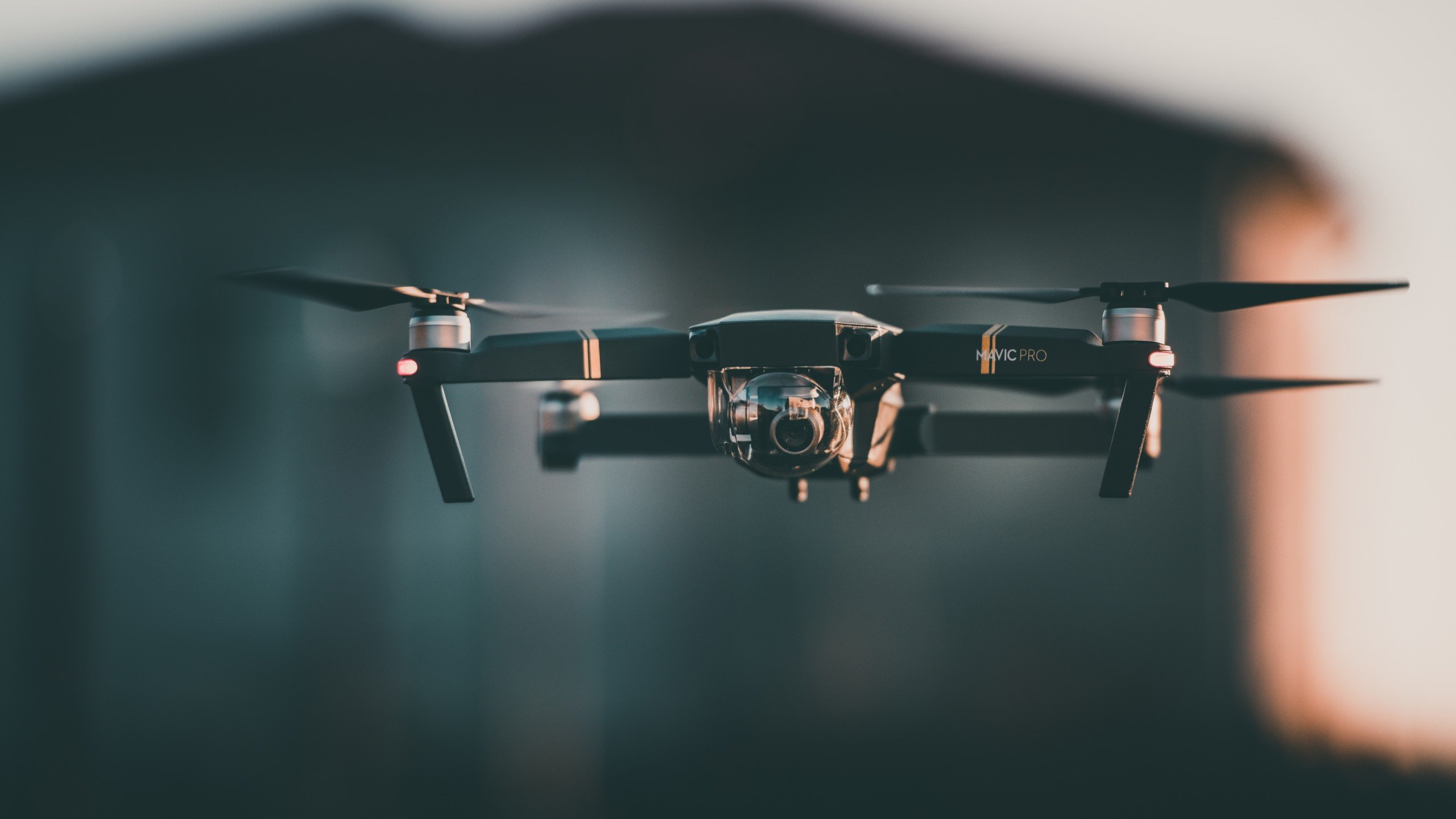
If you’re getting into drone photography, it’s important to know where you can and can’t fly — otherwise you could find your activities in the news for all the wrong reasons. AirMap is a new free, comprehensive, and interactive digital map that’s designed specifically to help drone users find safe and legal airspace around them.
The initial beta version of the site, which is live now, shows data for US-based drone operators, but an international version of the map is launching in the near future.
Unlike most other airspace maps, which were created for manned aviation, AirMap is designed purely for drone operators by drone operators. It focuses on airspace information from ground level up to 500 feet — the space in which drones can legally be flown.
A number of filters and features on the site help users to customize the information for their specific needs.
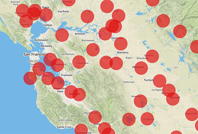
The map also uses data from NoFlyZone, another project by the AirMap creators, to show land that property owners wish to keep drone free. Sensitive areas such as hospitals, schools, and helipads are included in the maps, and additional “sensitive sites” will be continually added in the future.
P.S. Don’t Fly Drones Here is another interactive map for drone users that we featured in mid-2014.