An Interactive 3D Viewer for Earth Pictures Captured From the International Space Station
More than 1.4 million photos of Earth have been captured from the International Space Station over the course of 41 expeditions. San Francisco-based developer Callum Prentice wanted a better way to browse the images and the locations they were captured over, so he created a nifty 3D web app called the ISS Photo Viewer.
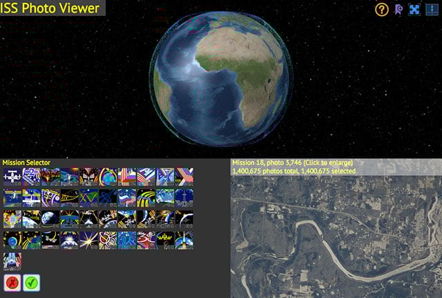
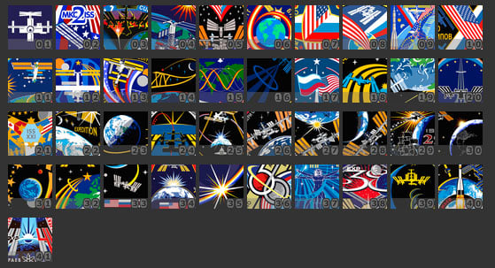
There’s a 3D earth in the top frame of the viewer. In the bottom right is the currently displayed photo, and in the bottom left is an expedition selector containing 41 patches:
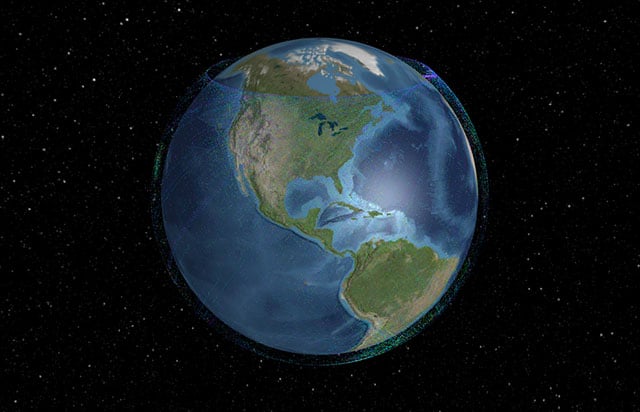
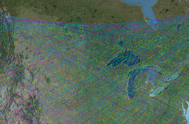
Select one or more of the patches, and you’ll see photos show up as colored dots in the locations they were captured:
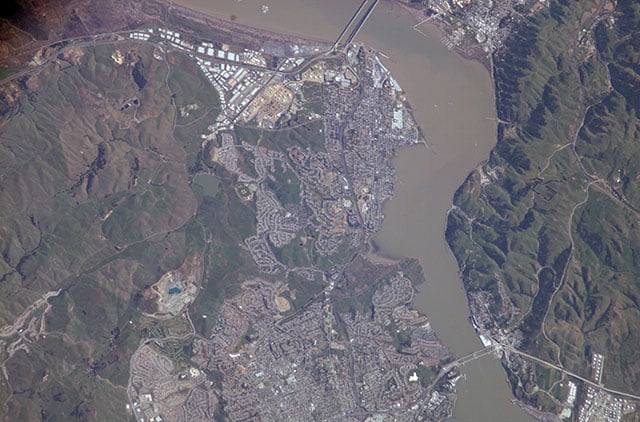
Right click the globe, and the photo indicated by the nearest dot will show up in the viewer. Here’s a photo we found on the coast of California:
As an added bonus, the current location of the space station is also indicated on the globe with an icon (this data is updated every 30 minutes).
ISS Photo Viewer [Callum Prentice via Laughing Squid]