Cameras on Earth and in Space Form the Frontline of Wildfire Defense
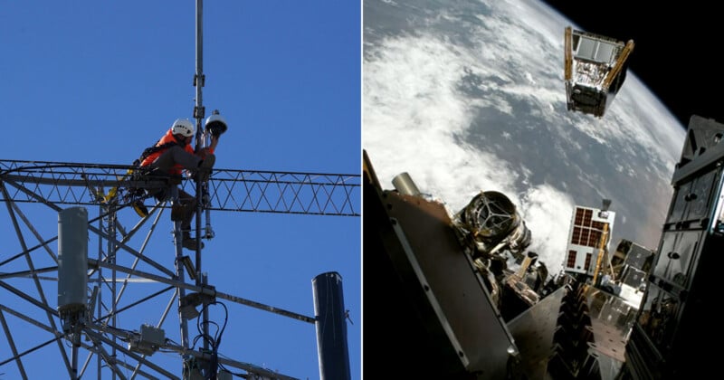
In May 2023, PetaPixel reported on the growing ALERTCalifornia web of connected cameras established to detect wildfires and give firefighters a chance to contain them before they grew and became deadly. Over three years later, the network continues to grow, and California is even using space-based cameras to detect wildfires as quickly as possible.
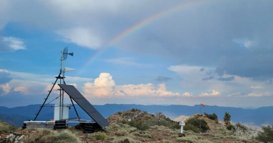
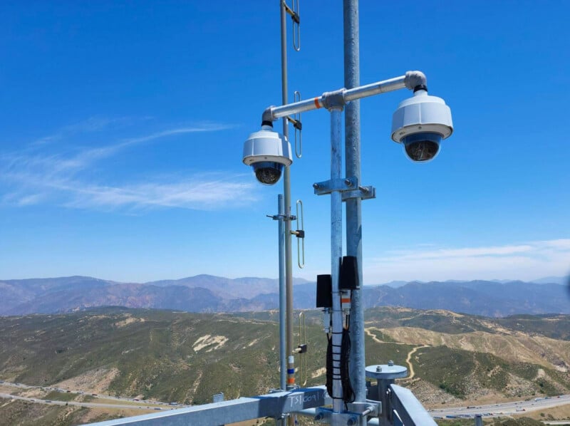
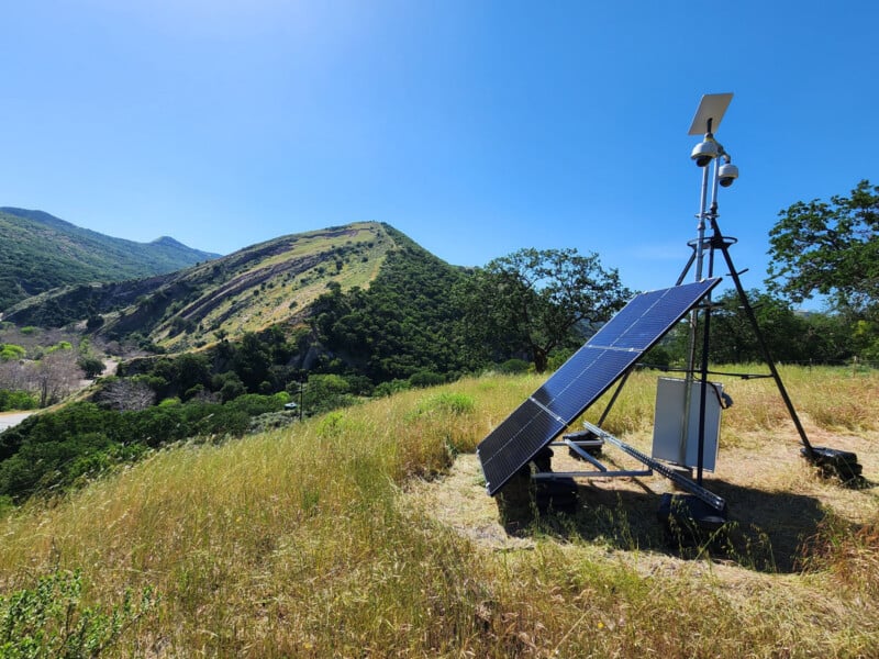
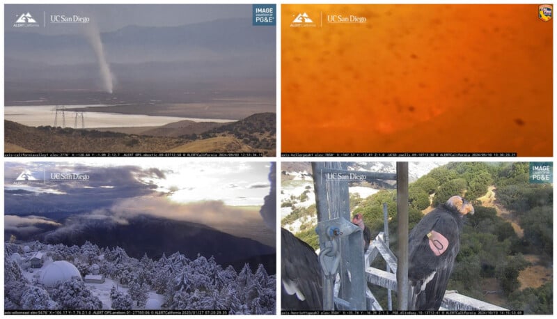
A New York Times feature story today follows firefighters on the ground in California as they install new cameras. In this case, 41-year-old Colby Nicholson alongside three other firefighters set up a pair of cameras atop a 12-foot tripod 1,500 feet above vineyards and small towns in Napa Valley. What was a network of about 1,000 cameras in 2023 is now nearly 1,300 remote cameras, constantly monitoring some of California’s most wildfire-prone areas. People at home can view live feeds from all the cameras online at any time.
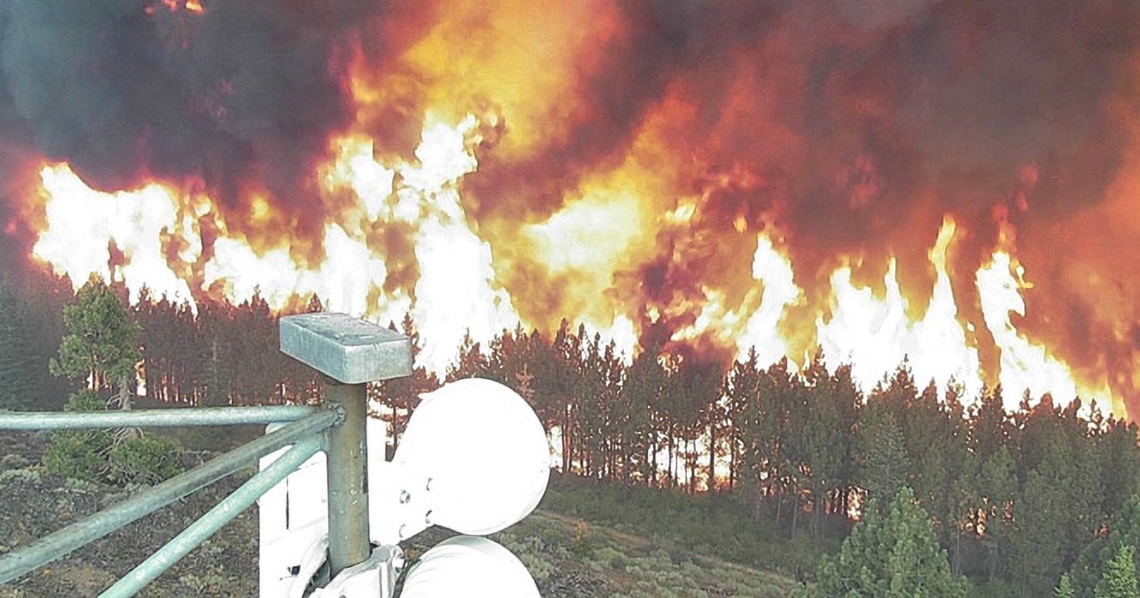
What has changed most since 2023 is how the video feeds from remote cameras are analyzed in real time. AI has continually improved and now serves as a high-tech stand-in for an old-school fire spotter. Remote cameras like this aren’t new; they’ve been used in California for nearly the entire 21st century, but camera hardware and software have kept improving. These days, remote cameras like this often provide the clearest, swiftest views of disasters as they start. In many cases, these cameras and their accompanying AI alert authorities to a fire long before the first human call reaches a dispatch center.
“This system has changed the world of response,” J.C. Greenberg, deputy chief of the Napa County Fire Department, tells The New York Times. “We have instant visibility and instant information that we need to make response decisions.”
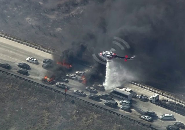
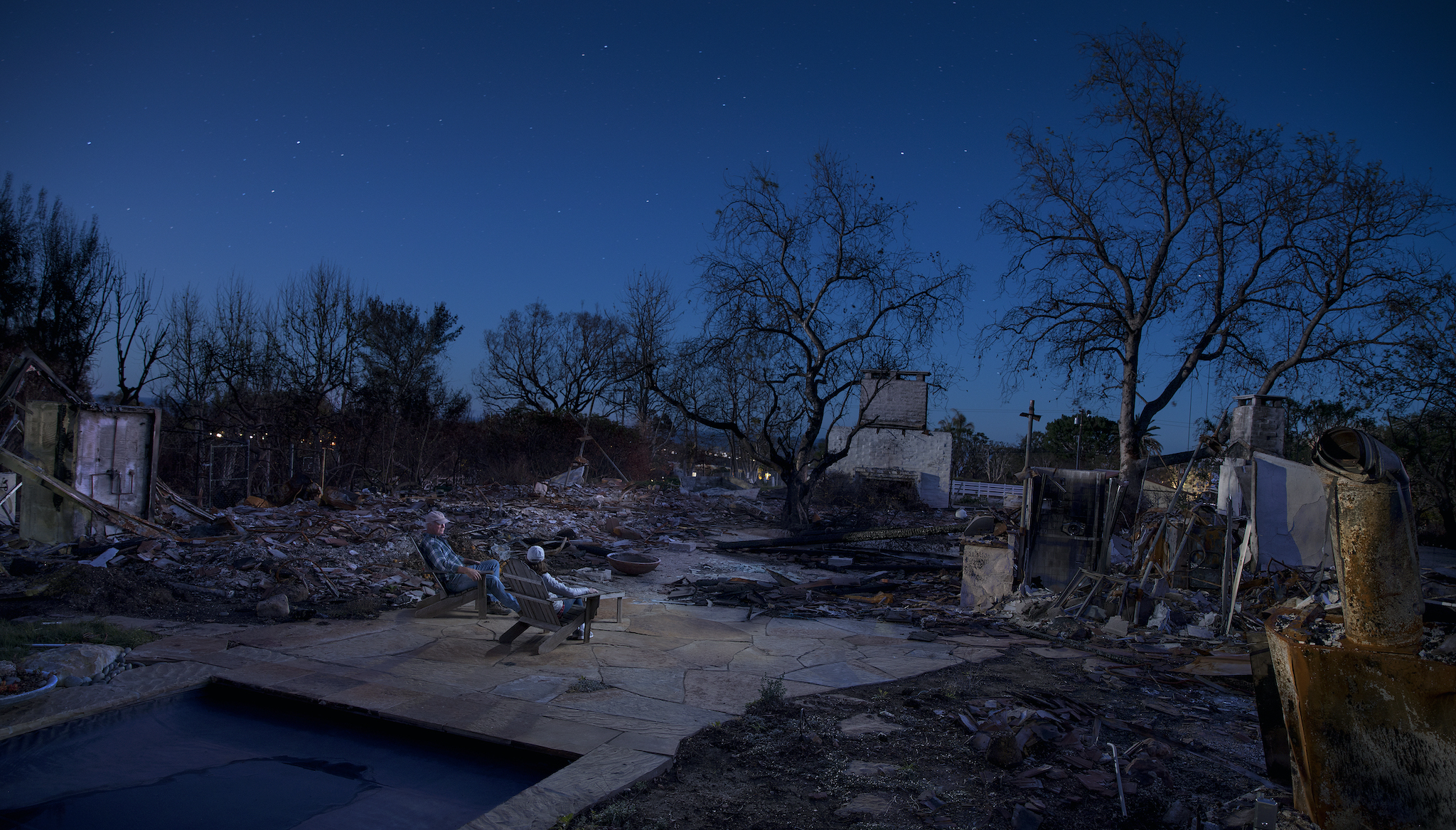
As disasters like last year’s Eaton and Palisades fires show, information alone isn’t always enough. But in many other cases, ALERTCalifornia’s cameras have been the difference between containment and destruction, life and death.
Nicholson and his small crew are a big part of that safety network, driving tens of thousands of miles across California each year, trekking into remote areas and installing new cameras. Alongside Nicholson are a 30-year-old ex-Marine, John Connolly, a 63-year-old surfer, Jim Conley, and self-described “gofer,” 30-year-old Kai Erwin. They were hired by Dr. Neal Driscoll, principal investigator at ALERTCalifornia and professor at the University of California, San Diego.
“Most trips end up with someone bleeding,” Nicholson tells The Times.
While it’s easy to point to deadly wildfires and wonder why the non-profit network of ALERTCalifornia cameras fell short, the organization’s co-director, Falko Kuester, notes that the camera system’s greatest successes are the fires nobody has ever heard of. There’s a good reason they never made the news. They were detected and snuffed out.
Dr. Driscoll knows the camera network still has plenty of room to grow. He hopes to expand the network to around 1,800 cameras and fill some remaining gaps. Each installation has two cameras, providing redundancy, and each camera also does slightly different things.
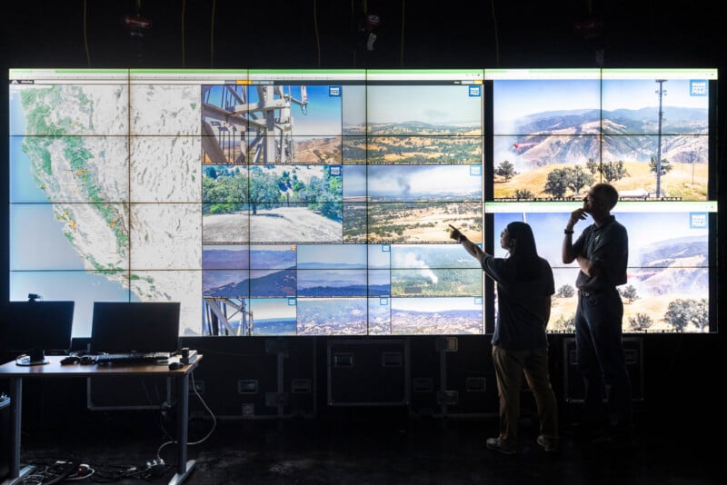
ALERTCalifornia team members in UC San Diego’s WAVE Visualization space.
One might see better at night or through smoke, while the other may be higher resolution and can see farther. One camera rotates automatically, capturing a 360-degree view every two minutes. Firefighters can remotely control the other to investigate something suspicious.
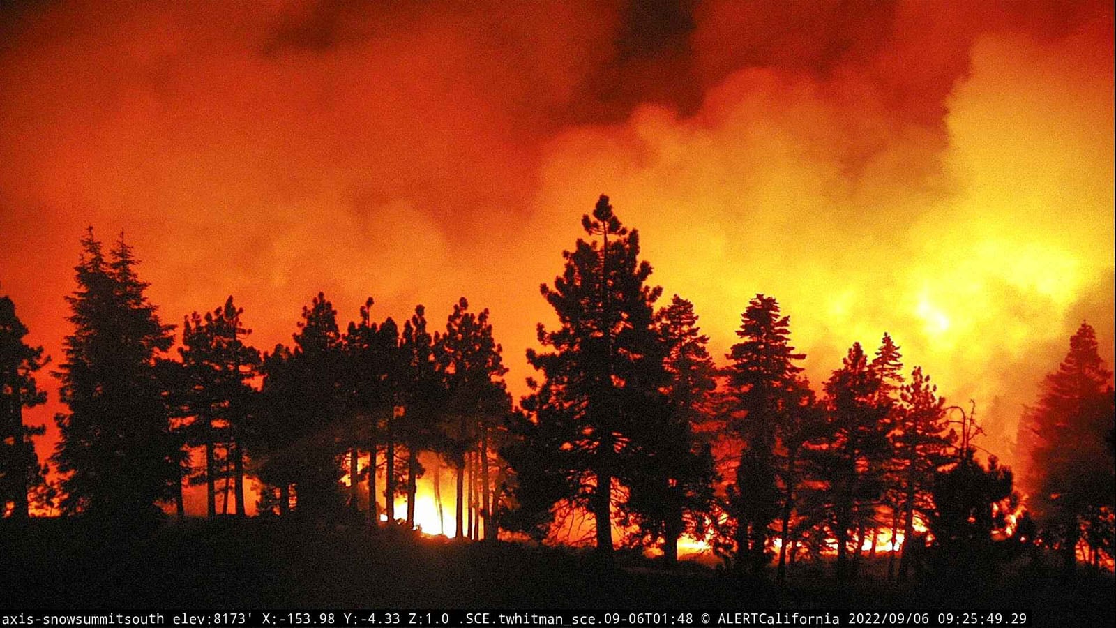
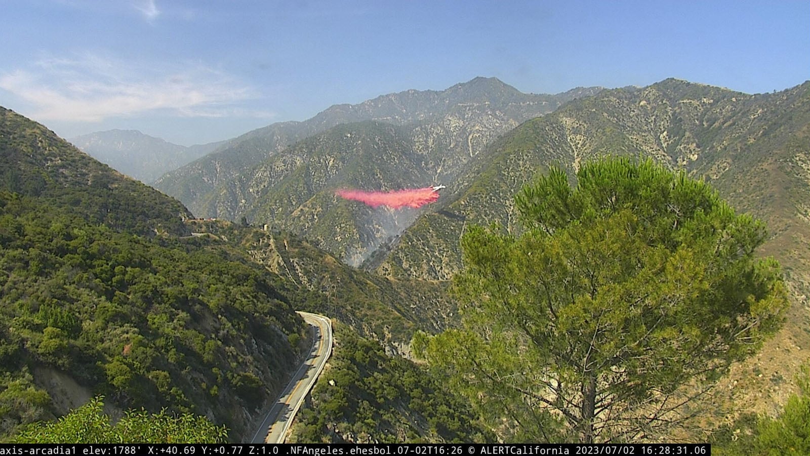
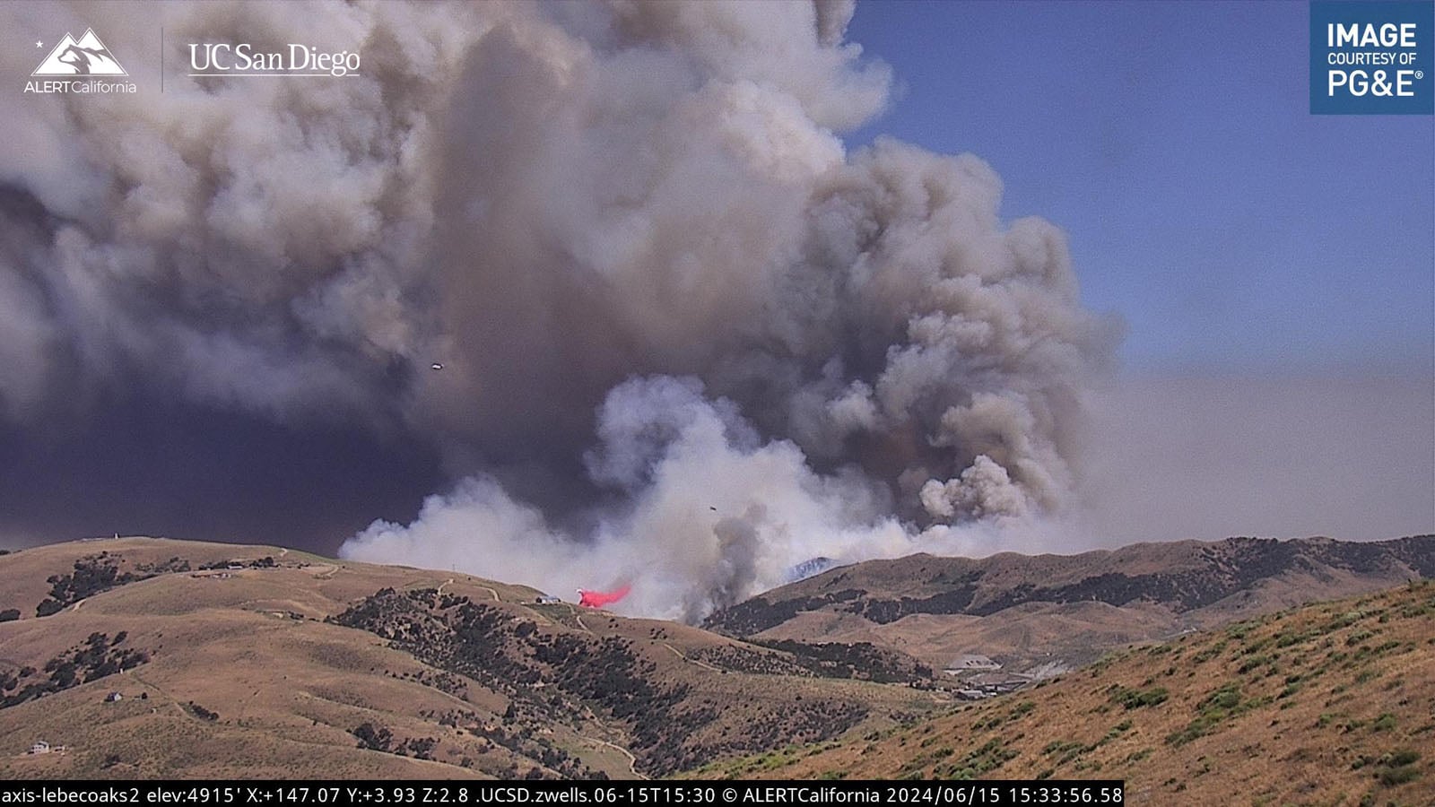
Dr. Driscoll tells NYT that this past summer, the network’s AI detected just over half of California wildfires before any people did.
Alongside ALERTCalifornia’s cameras perched along high elevations throughout California, keeping a watchful eye on the state, the state also relies on cameras much farther away. Earlier this year, California launched FireSat, a satellite-powered wildfire-detection network.
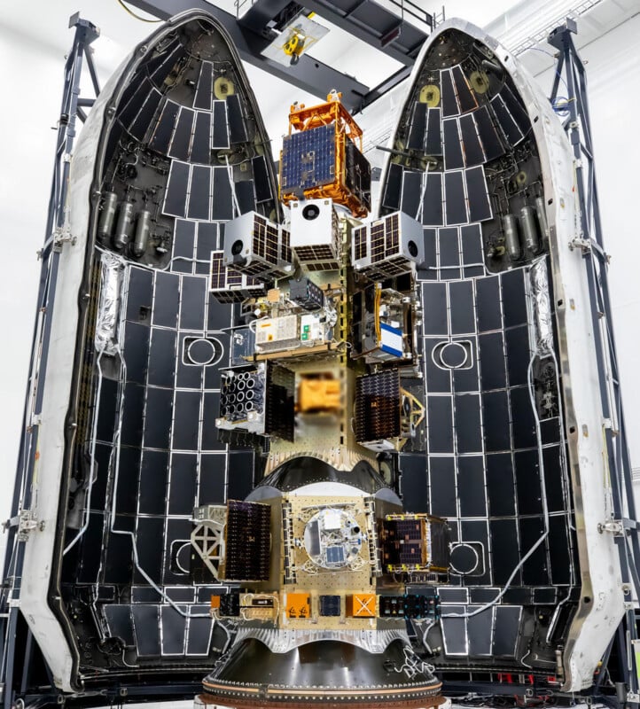
The state launched its first three FireSat wildfire detection satellites from Vandenberg Space Force Base as part of a partnership with the Earth Fire Alliance (EFA). EFA is a global nonprofit focused on wildfire detection, monitoring, and response.
“Built by California-based spacecraft manufacturer Muon Space, FireSat is the first satellite system specifically designed to detect wildfires. These three satellites will begin delivering wildfire data within months, the first step toward a full constellation of more than 50 satellites by 2030 that will cover the entire planet every 20 minutes, catching fires as small as a schoolyard before they grow into megafires,” California Governor Gavin Newsom said this summer.
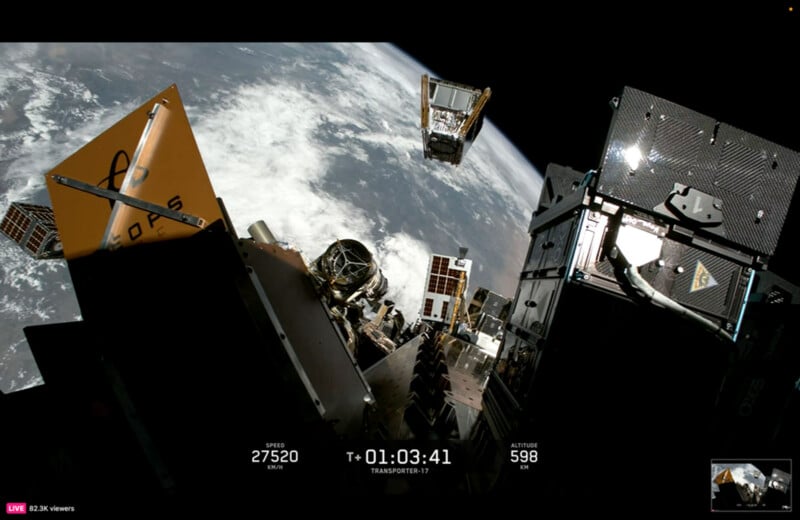
“The FireSat launch marks a transformative step toward space‑enabled wildfire intelligence, strengthening California’s resilience and demonstrating the power of global collaboration in confronting increasingly complex fire years,” added CAL FIRE Director and Fire Chief Joe Tyler.
California spends billions of dollars each year on wildfire detection, preparation, and management strategies, and a major part of the state’s plan relies on cameras, both near and far, to spot wildfires before they destroy homes and take lives.
Image creditsALERTCalifornia / UC San Diego, Earth Fire Alliance
Affiliate Disclosure PetaPixel articles may include affiliate links; we may earn a commission if you buy through one.