Breathtaking Shots From Inside the Colossal Hurricane Erin

Hurricane Erin, the first hurricane of the 2025 Atlantic hurricane season, strengthened at a historic rate over the weekend, and new photos from inside the hurricane show its immense size and power.
A few days ago, the 53rd Weather Reconnaissance Squadron, known as the “Hurricane Hunters,” flew into Hurricane Erin’s eye, capturing mind-bending images of the “stadium effect.” The effect is named this because the encircling towering walls of clouds look like a sports stadium’s seating.
Last night, the 53rd Weather Reconnaissance Squadron flew into the eye of Hurricane Erin—and captured imagery of the breathtaking stadium effect.
These missions provide critical data to the NHC to improve forecasts, helping keep communities safe before the storm makes… pic.twitter.com/RpAs7yMDRf
— Hurricane Hunters (@53rdWRS) August 16, 2025
The Hurricane Hunters fly into hurricanes to gather “critical data for the National Hurricane Center,” helping scientists more accurately measure the storm and forecast how it will change. Accurate forecasts can help save lives and provide people in the hurricane’s path the information they need to make safe, timely decisions.
“These brave crews are in the storm so you don’t have to be,” the 53rd Weather Reconnaissance Squadron explains.
Unbelievable footage from NOAA’s Hurricane Hunters inside the eye of Hurricane Erin.
Simply incredible. pic.twitter.com/3pTiNI6mpX
— Nahel Belgherze (@WxNB_) August 16, 2025
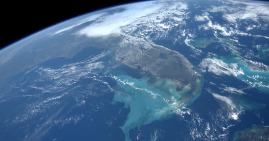
Scientists also monitor hurricanes like Erin from above using satellites. The National Oceanic and Atmospheric Administration (NOAA) and NASA’s GOES-19 weather satellite, launched into space in June 2024, captured the incredible video below of frequent lightning flashes inside Hurricane Erin as it rotates and grows over the Atlantic.
Lightning flashes within a powerful, Category 4 Hurricane Erin.
An incredible view this morning from GOES-19. pic.twitter.com/eUy8ko2S6T
— CIRA (@CIRA_CSU) August 16, 2025
As of now, Hurricane Erin is a Category 4 storm. While the storm is not expected to make landfall, its colossal size and powerful winds are causing problems in Puerto Rico, the Bahamas, and the Turks and Caicos Islands.
Significant and very dangerous swells from the storm are expected to hit much of the east coast of the United States and Bermuda beginning on Tuesday, August 19, with conditions expected to worsen throughout the week.
Although Hurricane Erin itself will not hit the East Coast, its impact on swells, surf, and currents could be life-threatening. Coastal flooding and overwash are expected to affect vulnerable areas on Tuesday, as CNN reports. 44 people have already died this year from rip currents and related water hazards in the United States, per the National Weather Service.
Image credits: Hurricane Hunters, NOAA