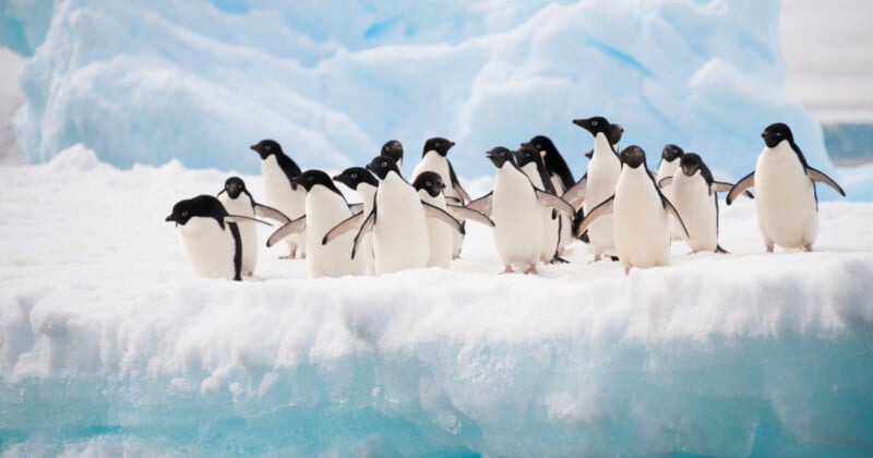
Tourist’s Photos Help Scientists Track Penguins in Antarctica

Scientists have been able to track penguins in Antarctica with the help of smartphone photos taken by tourists.
A research team led by Stony Brook University in New York has developed a computerized method that analyzes tourist-taken photos of penguins to identify the animals’ locations over time.
The tourists’ photographs offer insight into the changing locations of penguins over time and provide insight into the conditions causing changes in the animals’ abundance and distribution in Antarctica.
In a recent paper published in PLOS One, the researchers explain how changing patterns of penguin abundance has become an important gauge with which scientists can track how climate change and other threats are impacting the Antarctic environment.
“There are far more tourists in Antarctica than scientists, and virtually everybody has a camera in their pocket and many take photos of penguins,” Lead investigator Heather Lynch at the Institute for Advanced Computational Science (IACS) Endowed Professor of Ecology & Evolution at Stony Brook University, says in a news release.
“With many thousands of photos of Antarctica potentially available on the web, the question is how can we use the data collected by all those photos to track penguin populations? Our challenge was to figure out how to extract information about precisely where the penguins were in a photograph even if no additional information was available.”
According to New Scientist, the researchers used an AI tool developed by Meta to highlight Adélie penguins in photographs taken by tourists on the ground. With guidance from a human expert, the AI tool was able to automatically identify and outline entire colonies in photos.
The team also created a 3D digital model of the Antarctic landscape using satellite imagery and terrain elevation data. By identifying landscape details in the tourist pictures, the researchers could place the photographer, then the penguin colony, accurately within the 3D model.
The publication reports that converting ground-level photos into a bird’s-eye view enables researchers to monitor changes in the location and population size of penguin colonies over time. This approach is particularly valuable in remote areas where aerial drone or aircraft surveys are rarely conducted. Tracking these changes is crucial, as Adélie penguins are a sentinel species, with shifts in their populations serving as key indicators of climate change.
However, while some researchers can see the usefulness of tourists’ images in tracking ecological changes, they remain divided over the impacts of tourism in Antarctica. The two large Adélie penguin groups evaluated by the researchers are often visited by tour ships on the eastern side of the Antarctic Peninsula.
“Some scientists are worried that, by encouraging tourists to do citizen science, we are justifying their trips – which will be used by the cruise companies to sell more berths, fuelling the expansion,” Peter Fretwell at the British Antarctic Survey tells New Scientist.
“Others think that there is very little on-the-ground impact from the industry, as it is well regulated.”
Image credits: Header photo licensed via Depositphotos.