These New NASA Satellite Shots Show Earth’s Cities Glowing at Night
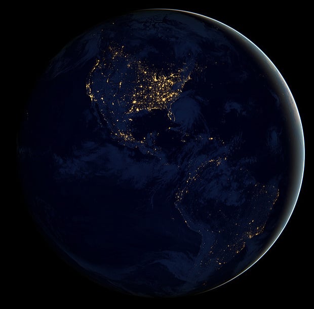
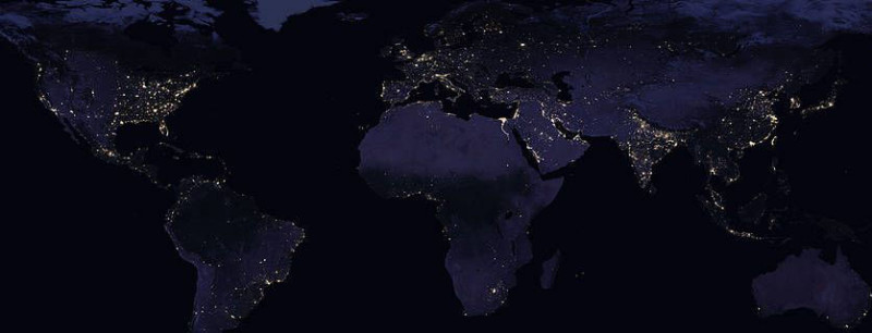
NASA has just released a new set of composite satellite photos showing what Earth looks like at night. The gorgeous images feature glowing lights across the planet showing where civilization is found.
One of the big challenges in creating these composite satellite photos was compensating for the moon, which casts different amounts of light onto our planet throughout any given month. Scientists developed software that helped select the best views each month, combining images that are moonlight-free and moonlight-corrected to create the final shots.
The data used is from NASA’s Suomi NPP weather satellite, which uses a low-light sensor that captures views of Earth at 1:30 p.m. and 1:30 a.m. for each location (it shoots 3,000km strips from pole to pole as it orbits the Earth).
The World
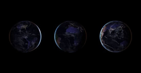
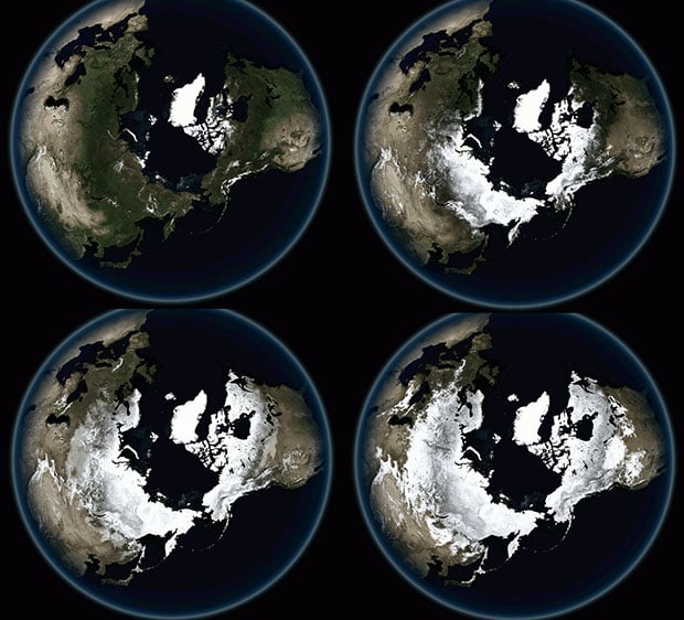
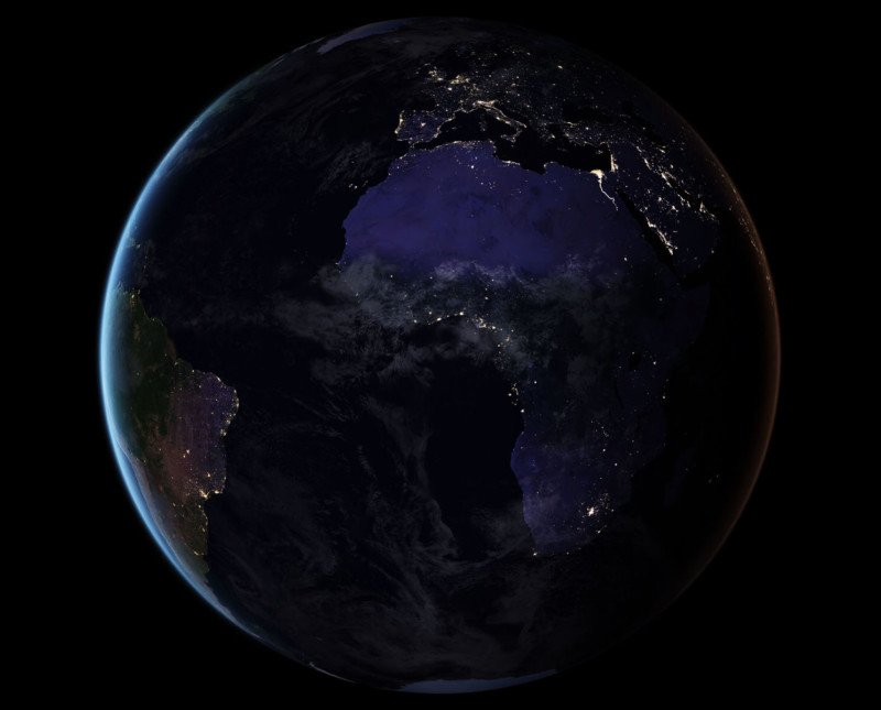
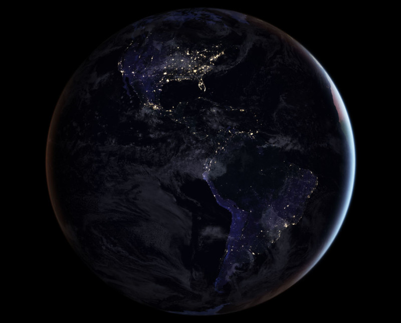
Blue Marble Views
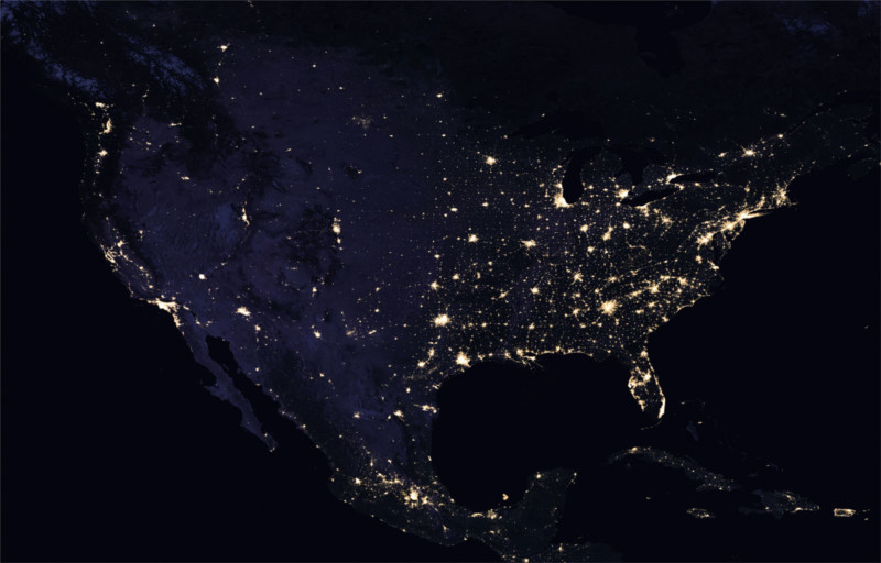
Continental USA
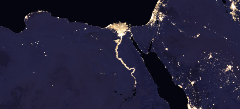
Nile River
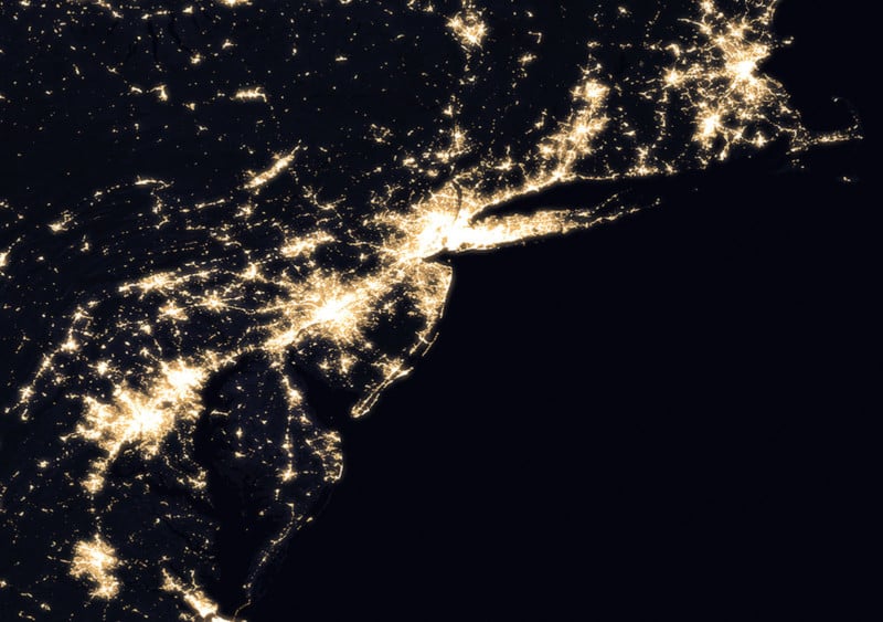
Northeastern U.S.
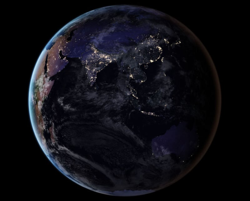
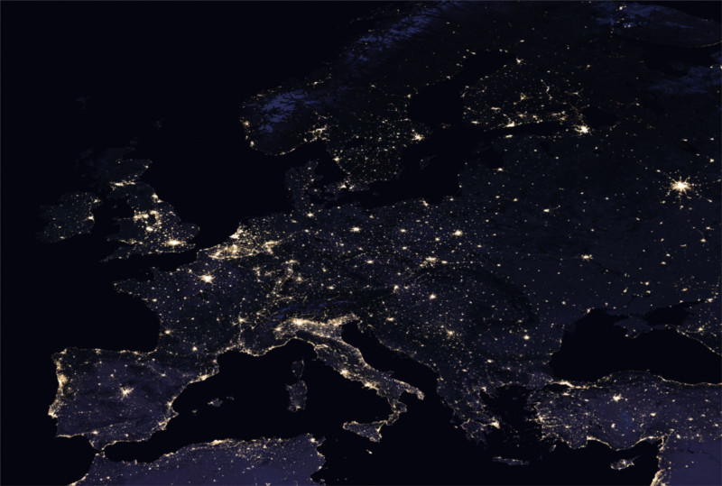
Europe
India
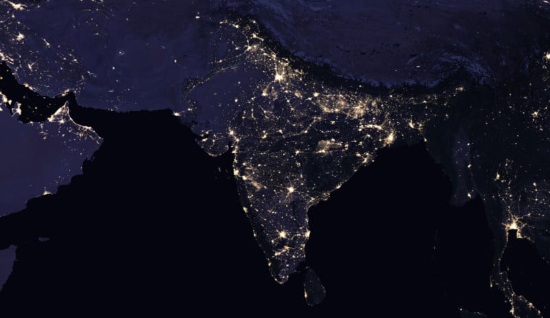
Image credits: NASA Earth Observatory images by Joshua Stevens, using Suomi NPP VIIRS data from Miguel Román, NASA’s Goddard Space Flight Center