A Visualization of Sunrise and Sunset Photos Being Snapped Around the World
“All Our Suns” is a new project by NYC telecommunications grad student Michelle Chandra that visualizes the snapping of sunset and sunrise photos around the world using Instagram data.
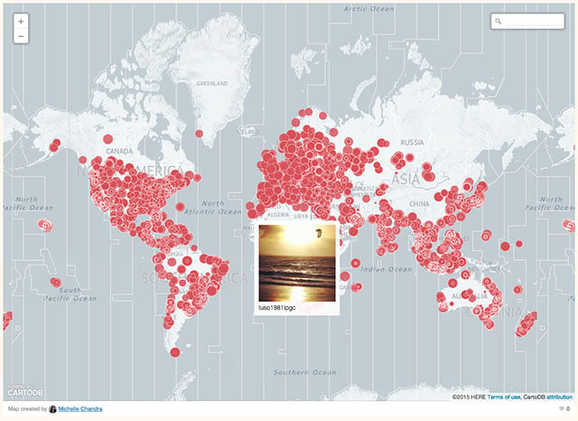
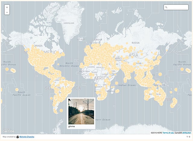
A second pair of maps let you browse a giant collection of sunrise and sunset photos on zoomable world maps (you can find the interactive versions here):
Finally, a third animated map lets you see every time someone posts a sunset photo at the exact time someone else on Earth posts a sunrise photo:
“We live in a world that follows a fixed idea of time, a standard synchronized time held in place by time zones, clocks, and calendars,” Chandra writes on the project’s page.
“Instagram users reveal a different idea of time, a richly textured irregular time in which the setting sun and end of the day for one individual is the beginning of the day for another, a never-ending loop.”
(via All Our Suns via Engadget)