Satellite Shoots Beautiful 6,000-Mile-Long Panoramic Photo from Orbit
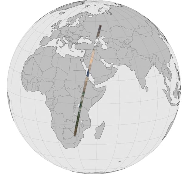
There’s a slew of super-large panorama pictures available on the web, but when was the last time you heard about a picture that spans well over half the diameter of Earth?
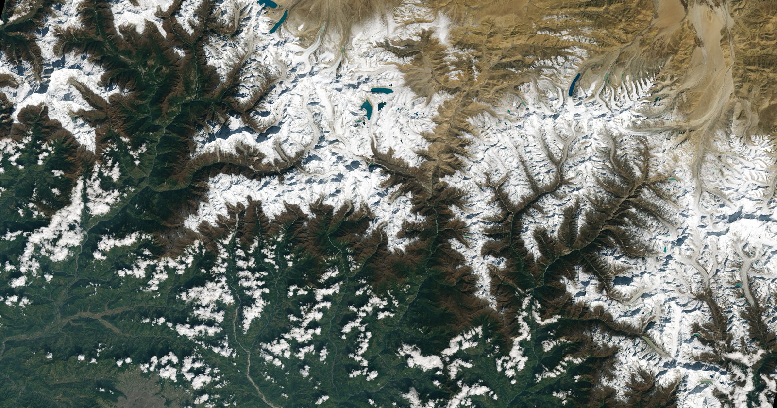
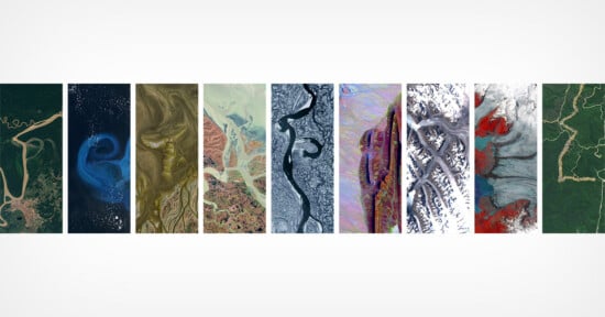
Fifty-six still images make this strip of gorgeous Earth scenery possible, and given that Landsat is orbiting the planet at about 17,000 miles per hour, it took only — wait for it — twenty minutes to capture. That’s impressive. What’s more interesting, however, are the variations on Earth’s surface. Flourishing forests to barren deserts, lakes, and everything in between – and the colors are amazing.
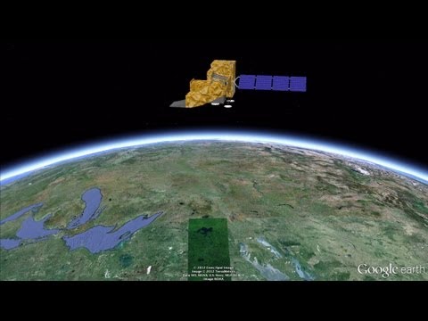
So what makes this different than firing up Google Earth and viewing the whole world? With Google Earth, you’re looking at a bunch of different pictures shot at different times. The beauty here is that this one super-long picture was captured in one fell swoop.
It’s certainly worth a look, even if you don’t have time to explore the picture in its entirety.
You can view the full interactive version on Gigapan, watch the tour video, view the entire panorama in 15 minutes, or load it up on Google Earth.