This is What the ISS Would Look Like if It Flew at Airplane Altitude
The International Space Station (ISS) has been the vantage point for some of humanity’s great photos, despite traveling at a tremendous speed.
The ISS takes just 90 minutes to orbit the Earth at an altitude of 250 miles traveling at 4.76 miles per second (or 7.66 kilometers per second). Now a YouTuber has simulated what it would look like if the ISS was orbiting Earth at an airplane altitude of 10,000 feet rather than spacecraft orbit altitude. Just for reference, smaller airplanes like the Cessna 172 have a maximum altitude of around 14,000 feet while airliners have a cruising altitude of between 33,000 and 42,000 feet.
In the above video, Benjamin Granville used Microsoft Flight Simulator to simulate the ISS zooming across the Earth’s surface, and if the viewer blinks they will miss the spacecraft. When traveling onboard, the ISS clears New York City in roughly three seconds.
“I always thought about things like this like what speeds of planes and satellites would be like when put into perspective at ground level,” writes one user.
Photographing From Aboard the ISS
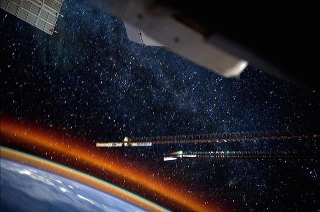
Traveling at such a low altitude would make photographing the ground from the ISS incredibly difficult. But, even at 250 miles above Earth, it is still not straightforward to capture stunning photos that the public has become accustomed to.
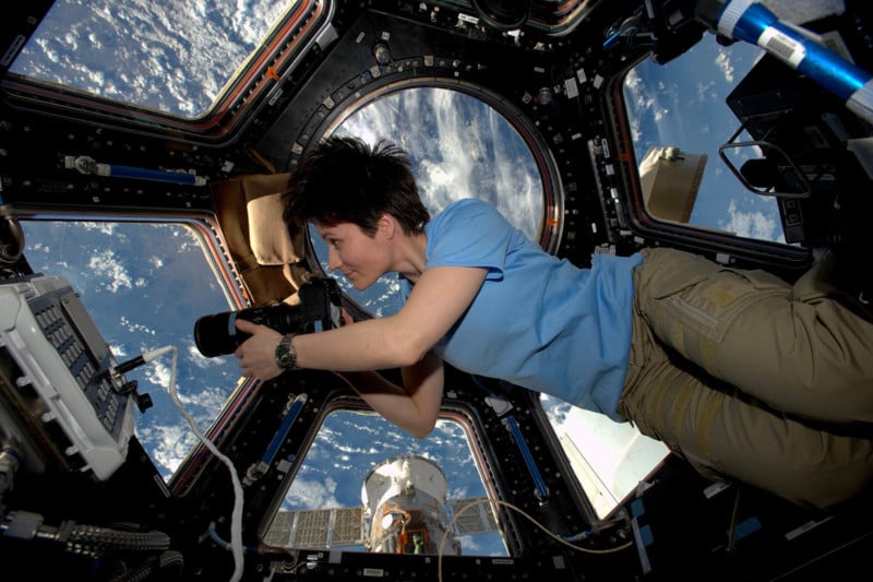
In 2021, astronaut Thomas Pesquet who has shared numerous beautiful photos of Earth from the ISS, expressed how it’s not as simple as hanging out in the space station’s cupola.
“Good planning for a picture is half the job, and for us it starts with our navigation software,” Pesquet said. “It allows us to catalogue our targets (although I prepared many in advance before I left Earth).”
Pesquet says that the software he and the other astronauts have access to shows them where it is day and night on Earth and also provides them with cloud cover predictions. But most importantly, he says, it shows future orbits.
“Many people think that we can take a picture of a specific place on Earth on command, but it is much harder than that. First of all our orbits mean we only fly over specific areas periodically. Secondly, even if we do fly over an area of interest it might be during nighttime so there will be nothing to see unless it is a city with bright streetlights. The lighting in the morning or evening is generally not good enough either (this is why some of the pictures have more pastel colors). Then there are clouds that can get in the way,” he explains.
“Lastly, and not the least, often we pass over areas… when we are working. We cannot drop everything we are doing at 14:35 for example just because we really want to take a picture of a city or a mountain or other marvel of Earth.”
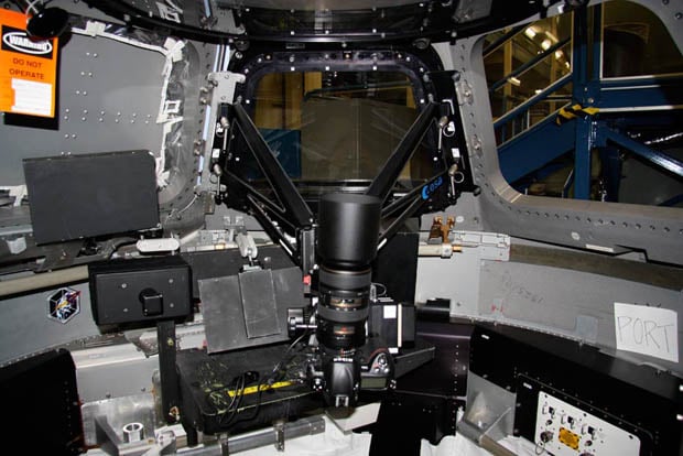
Today it’s been announced that the ISS will receive a state-of-the-art, high-resolution camera system to help shape plans for a new, ultra-high-resolution camera system that is currently in development.