Before and After Aerial Photos Show the Devestation of Hurricane Ian
Before and after photos taken above Florida detail Hurricane Ian’s devastating impact on local infrastructure.
The photos were collected by Nearmap, an aerial imagery company that uses a camera system attached to planes instead of employing satellites.
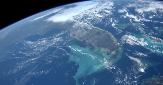
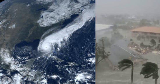
The images show areas of southwest Florida that have been entirely destroyed by the terrifying storm, which the American Red Cross has described as “one of the largest natural disasters ever to hit Florida.”
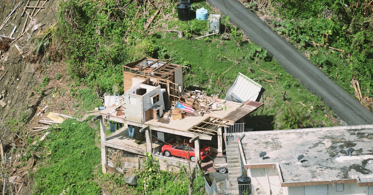
A house on Estero Boulevard in Fort Myers Beach, which PetaPixel reported had been battered by hundred-mile-an-hour winds and high water, has been completely leveled with bits of the former house scattered across the landscape.
Fort Myers had the misfortune of being in the direct path of Hurricane Ian with homes being reduced to just the faint outline of their foundations.
Punta Gorda and Sanibel Island also feature in the above video. At least three sections of Sanibel Causeway were washed away by the storm surge leaving some residents effectively stranded.
An image of a community on West Gulf Drive in Sanibel shows swimming pools, tennis courts, and large buildings completely wiped out by Ian.
Some houses in Punta Gorda that were rebuilt after Hurricane Charley in 2004 faired better with houses still standing among the debris.
Catastrophic Human Impact
At least 87 people have been confirmed dead since the hurricane struck the U.S. and rescuers are still desperately searching for survivors who may be trapped inside their own homes.
President Joe Biden and the first lady have confirmed plans to travel to Florida and Puerto Rico next week to survey the damage and meet officials and residents.
Drowning is the biggest cause of death but other tragic stories have emerged. An elderly couple whose oxygen machines stopped working because of power outages and subsequently lost their lives.
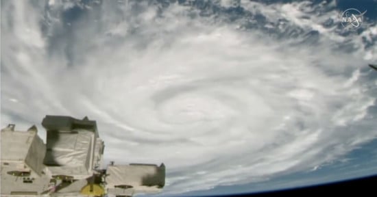
Aerial Imagery
Nearmap is an aerial imaging company that frequently releases high-resolution images from above. By using planes rather than satellites, the Australian company can avoid the weather disruption that space satellites face.
Nearmap has a diverse client base from construction firms to federal agencies wanting access to its subscription-based model that offers several types of aerial imagery.