NASA’s Perseverance Rover Sends Stunning Selfie From Mars’ Lac de Charmes Region
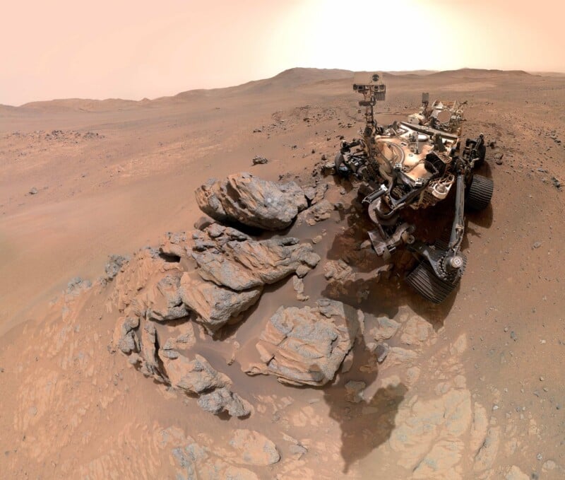
NASA’s Perseverance rover sent a selfie from Mars taken against the sweeping backdrop of a region scientists call the ‘Lac de Charmes.’
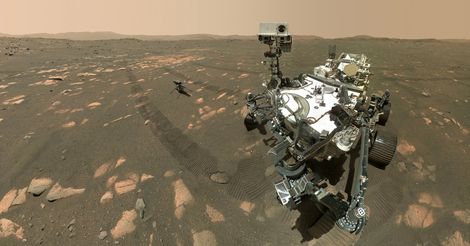
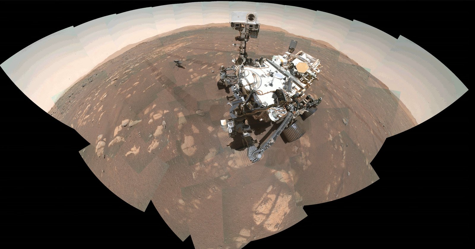
Since landing on Mars five years ago, Perseverance has been analyzing minerals as it travels west across the dry terrain of the Red Planet. On Tuesday, NASA released the latest selfie taken by the rover — its sixth since landing on Mars in 2021.
Assembled from 61 individual images, the selfie shows Perseverance pointing its mast toward a rocky outcrop in the foreground after creating a circular abrasion patch. During the abrasion process, the rover grinds away part of a rock’s surface so the science team can study material beneath it. The image was captured on March 11 during the rover’s farthest push west beyond the crater since arriving on Mars. The western rim of Jezero Crater can be seen stretching into the distance behind it.
Perseverance took the selfie using the WATSON (Wide Angle Topographic Sensor for Operations and Engineering) camera mounted at the end of its robotic arm, which made 62 precision movements over approximately one hour to build the composite image.
NASA says the broad expanse of ancient Martian terrain visible in the selfie is known as the “Lac de Charmes.” Scientists consider the region some of the most scientifically important terrain Perseverance has explored so far.
“We took this image when the rover was in the ‘Wild West’ beyond the Jezero Crater rim — the farthest west we have been since we landed at Jezero a little over five years ago,” Katie Stack Morgan, Perseverance’s project scientist at NASA’s Jet Propulsion Laboratory in Southern California, says in a statement. “We had just abraded and analyzed the ‘Arethusa’ outcrop, and the rover was sitting in a spot that provided a great view of both the Jezero Rim and the local terrain outside of the crater.”
Alongside the selfie, Perseverance also used its Mastcam-Z camera system to capture a mosaic of the “Arbot” area in Lac de Charmes on April 5, or Sol 1882. The panorama, made from 46 images, provides one of the mission’s most detailed geological views, showing a windswept landscape filled with different rock textures.
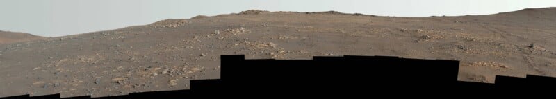
NASA says the image gives scientists a clearer guide for studying the ridgeline and the area’s ancient rock formations, including what appear to be megabreccia — massive rock fragments, some as large as skyscrapers, that were thrown out by a huge meteorite impact on the plain known as Isidis Planitia around 3.9 billion years ago.
“What I see in this image is excellent exposure of likely the oldest rocks we are going to investigate during this mission,” Ken Farley, Perseverance’s deputy project scientist at Caltech in Pasadena, says.