Next-Gen LiDAR Tech Will Map the Ocean Floor in Extreme Detail
The Monterey Bay Aquarium Research Institute (MBARI) has been working for a decade to develop what it describes as next generation LiDAR tech that it plans to use to create extremely detailed maps of the sea floor.
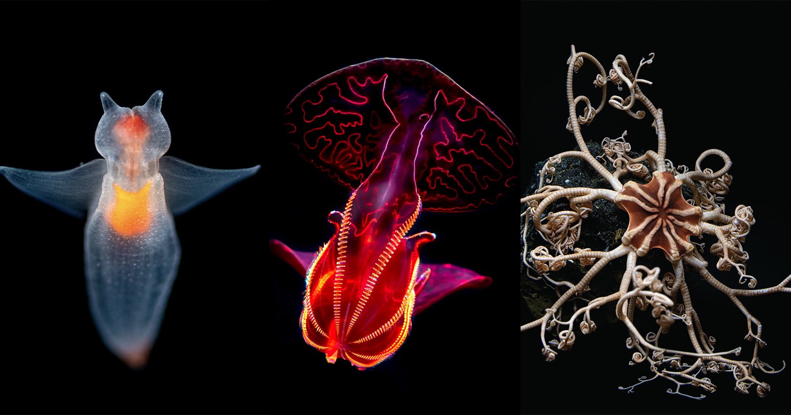
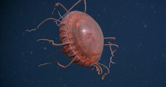
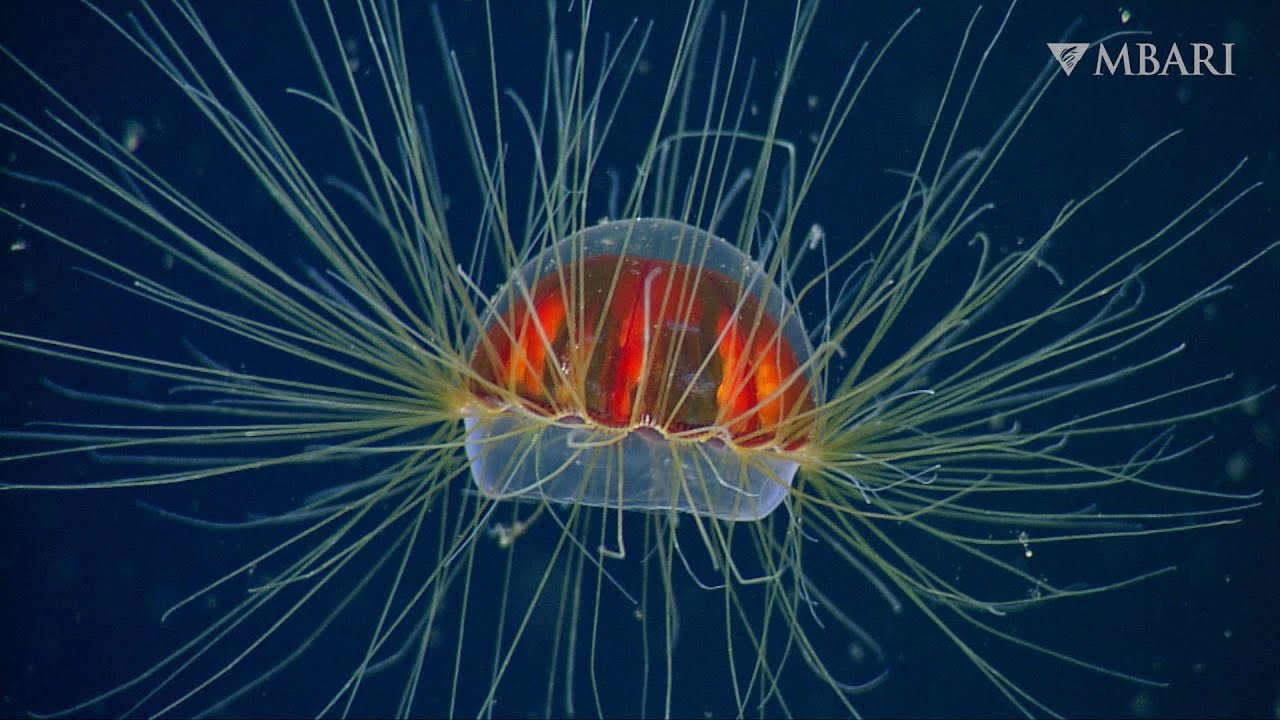
MBARI, which regularly shares videos of unique creatures that live in the ocean’s depths, says that accurate and complete imaging of the deep seafloor is critically important to understanding the biology and ecology of the largest living space on Earth.
As important as this task is for research, to date only about 20 percent of the ocean floor has been mapped at a suitable resolution to be useful. The organization hopes to change this and has been working for the last decade to develop the tools necessary to achieve this goal.
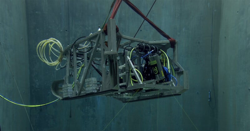
MBARI has been working with 3D at Depth, the world’s leading expert in subsea LiDAR laser technology, over that time period and is now actively working on the next generation of the LiDAR that is capable of creating detailed, high-resolution maps of the deep sea.
LiDAR, which stands for Light Detection and Ranging, is a remote sensing method that uses light in the form of a pulsed laser to measure ranges (variable distances) to the Earth, the National Oceanic and Atmospheric Administration explains. LiDAR is currently in use across a broad range of modern applications, from smartphones to cameras.
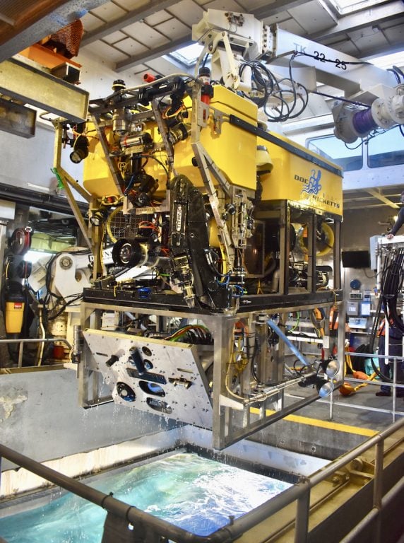
“To meet our goal of surveying the complex and rugged terrain of the deep seafloor at one-centimeter resolution, we’re working closely with 3D at Depth to develop enhanced lidar technology that will be smaller in size and weight and require less power, making it ideal for deployment on MBARI’s robotic submersibles and eventually, our autonomous robots too,” says Dave Caress, a principal engineer at MBARI and the principal investigator of MBARI’s Seafloor Mapping Lab.
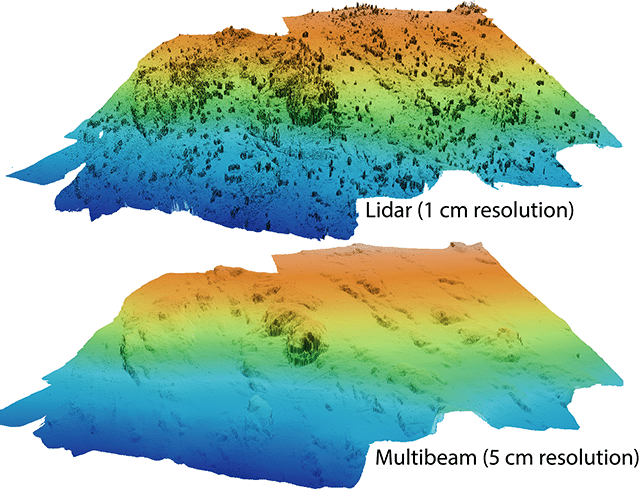
MBARI has been working on seafloor mapping technology for he better part of 20 years and has steadily improved the resolution of its results. What started with the ability to generate 3.3-feet resolution in 2006 has now been reduced to one centimeter of resolution by 2019.
To put that in perspective, the image below shows the huge difference in resolution between just five centimeters of resolution to one centimeter of resolution.
Specifically in the last seven years, MBARI and 3D at Depth ahve been working on what is called a Wide Swath Subsea LiDAR (WiSSL), which is optimized for seafloor mapping.
“In 2017, 3D at Depth delivered a WiSSL rated to 4,000 meters (13,100 feet) to meet the custom requirements for MBARI’s seabed mapping campaigns, including a 90-degree field of view that covers a seafloor swath twice as wide as the distance to the seafloor. MBARI’s Seafloor Mapping Lab has used the WiSSL to map a variety of seafloor features and habitats at centimeter scale, including methane gas seeps, faults, submarine canyons, deep-sea coral and sponge communities, octopus brooding sites, and high-temperature hydrothermal vents,” MBARI explains.
“After completing extensive design reviews and field trials, the team now aims to build and test the next-generation subsea LiDAR system this year. The new system will open up further possibilities beyond mapping the seafloor. The next-generation WiSSL will have a 360-degree field of view and be able to conduct three-dimensional scans in open water, over complex terrain, and even on vertical terrain,” MBARI says.
This next generation system will be more portable and draw less power, well suited for use on autonomous platforms that are used to dive to the ocean’s floor.
Image creditsMBARI