SeaView: Google Street View for the Sea

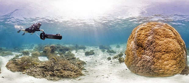
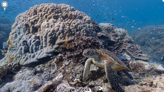
New service called the Catlin SeaView Survey is planning to do for the ocean what Google Street View has done for land. Using a special camera, the joint venture between the University of Queensland, Google, and insurance firm Catlin Group will use a specially designed underwater camera to capture interactive 360-degree panoramic photographs. The purpose will be to carry out one of the most intensive studies of reefs ever, starting with Australia’s Great Barrier Reef. It’ll go into full swing starting in September, but some sample imagery is already viewable over at the SeaView website.
Related Articles

Discussion