First Public High Res Satellite Struts Its Stuff, Releases Sample Images of Madrid
Cue privacy overreaction in three… two… one…
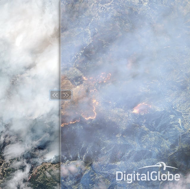
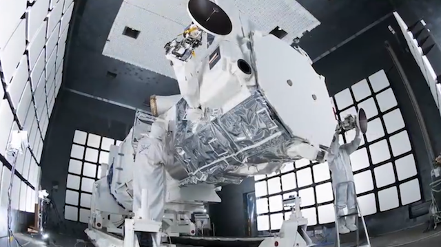
Remember DigitalGlobe’s WorldView-3, the first high-res public imaging satellite we told you about earlier this month? Well, it’s up in orbit, and the company wants to show off just how capable the WorldView-3 really is.
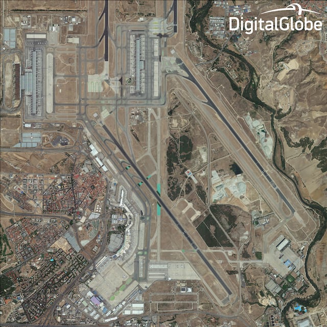
Less than a week after Lockheed Martin got the thing into orbit, the folks on the ground opened up the door on the main telescope and began prepping it to snap picture of Madrid, Spain. Pictures DigitalGlobe just released to show you just how well this thing can count the number of shingles on the roof of your house.
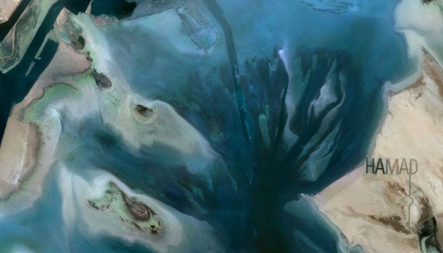
Here’s a look at a few of the images DigitalGlobe is sharing with the world (click here to download the full-res, uncompressed TIF files). The image at the top is the full photograph; the photos below are cropped sections of that image:
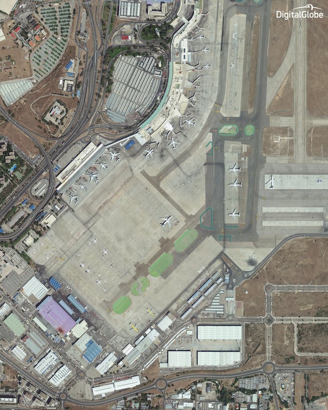
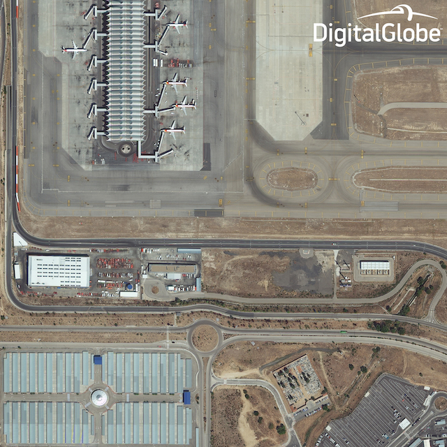
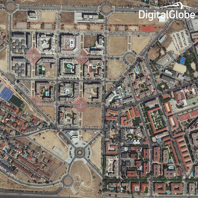
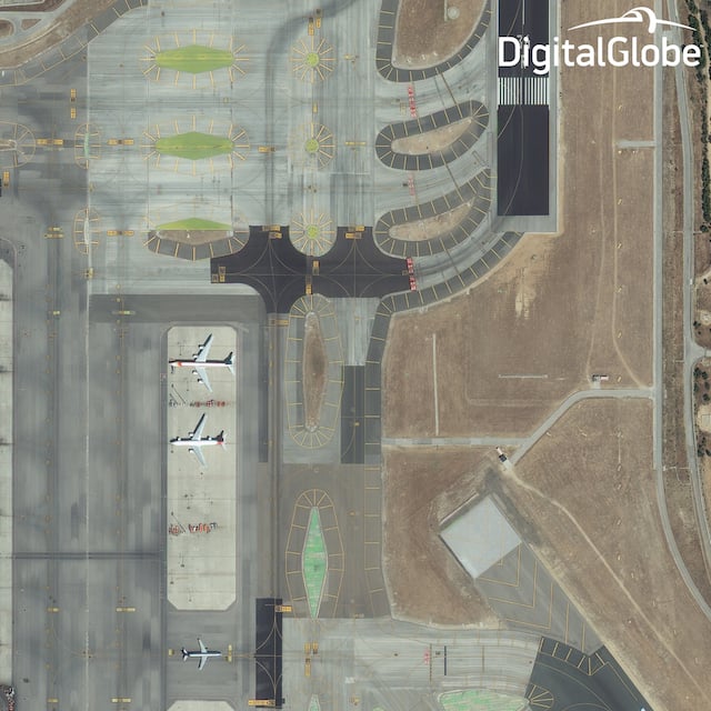
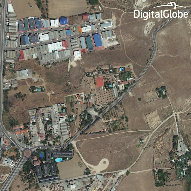
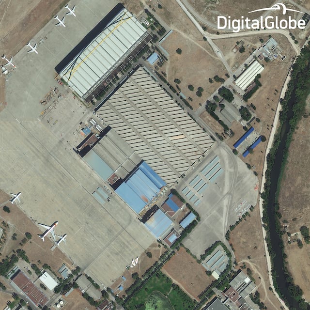
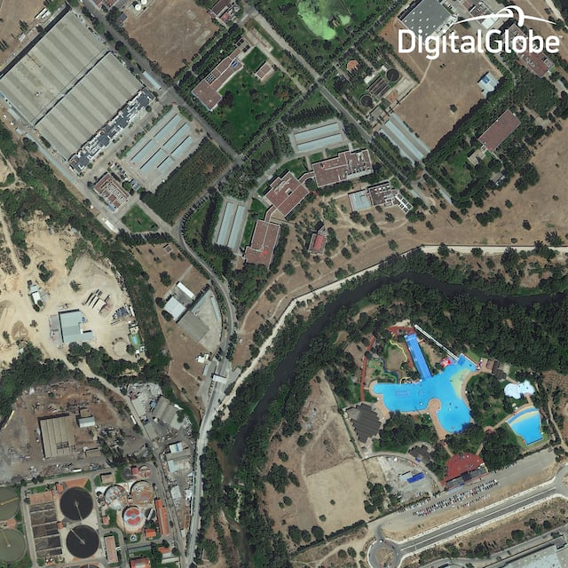
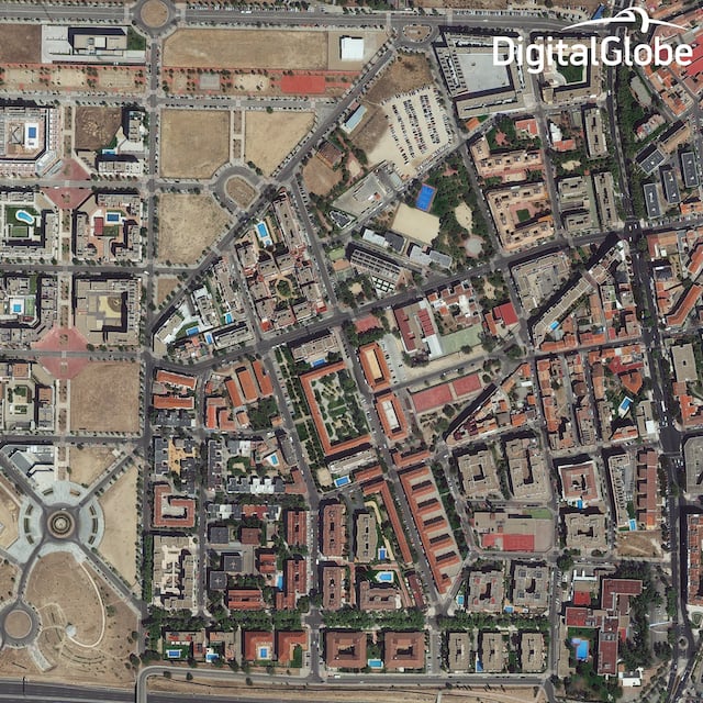

Interestingly enough, as clear as these images are, this isn’t even an accurate representation of what the satellite can do. As Digital Globe points out on their website, “because of the regulatory restrictions, we can’t yet display the 30 cm native resolution data, so we’re sharing imagery resampled to 40 cm.”
That will all change in February though, when the true full-res files will be available to clients who want to do anything from monitoring roadways, to keeping track of natural resources, to… well… counting the shingles on your roof… if they’re into that sort of thing.
Head over to the DigitalGlobe website to find out more and see these images in all their full-res, uncompressed glory.
(via Engadget)