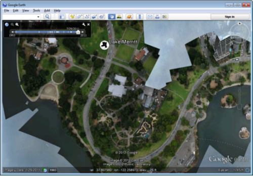
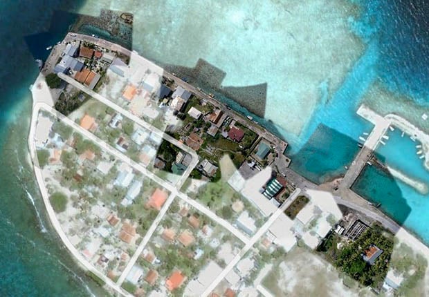
Google Adding User-Created Balloon and Kite Imagery to Google Earth

Innovation is why we love companies like Google. Several times a week, it seems, the company comes out with another program or product idea that makes us all smile (and secretly wonder how long we have until they’ve achieved world domination). Their best ideas, however, involve their user base — and their latest expansion idea for Google Earth does just that.
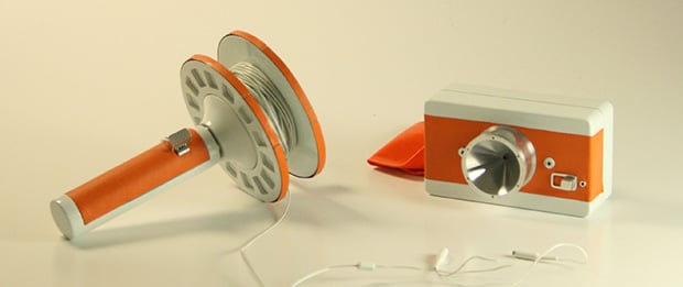
All you need to contribute is a point-and-shoot, about $100 in additional equipment, and the determination to actually go out and do it. They’ve even provided a MapKnitter that will help you align your photos properly. Head over to their website if you’re interested in getting your hands on some instructions, and you can start making your contribution to Google Earth today.
Related Articles
Discussion