interactivemap

This Useful Map Reveals Photography ‘Hotspots’ Around the World

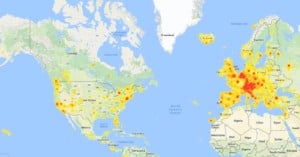
Landscape photographer and travel addict Mike Wong has created a super useful tool for fellow photographers who want some help location scouting. It's called "PhotoSpots," and it's an interactive "heatmap" that reveals photography hotspots around the globe and even pulls sample photos from those locations.

This Interactive Map Shows Where You Can’t Fly Drones for Aerial Photography

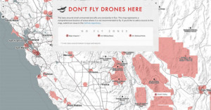
Just got your hands on a drone and can't wait to use it to shoot aerial photographs? First, make sure you only use it where it can legally fly. If you're not sure where to look for this info, there's a new website designed just for you.

It's called Don't Fly Drones Here (DFDH), and is an interactive map that shows off limit areas of the US by shading them in with red.