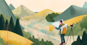
How To Properly Scout Locations To Get Gorgeous Landscape Photos
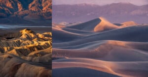
When I first started doing landscape photography, visiting new locations used to intimidate me a lot. I think part of me would feel the anxiety and pressure of needing to get a good shot, and oftentimes, I would not use the proper tools to set myself up for success.