satellitephotos

Canon 5D Mark III Satellite Camera Destroyed in Failed Rocket Launch

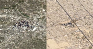
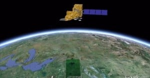
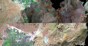
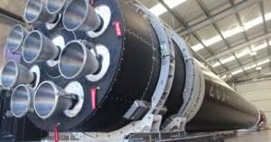
This past weekend, Canon was planning to launch its 5D Mark III-based CE-SAT 1B satellite camera into orbit, but it was not meant to be. The satellite was supposed to go as part of Rocket Lab's aptly named mission "Pics or It Didn’t Happen," but the Electron vehicle experienced "an anomaly" and all 7 micro-satellites onboard—including Canon's—were destroyed.

40 Years of Landsat: Time-Lapse Videos Show Changes to Earth’s Face

Yesterday marked the 40th anniversary of Landsat, the longest-running program focused on acquiring satellite photos of Earth. The Landsat satellite snaps one completely photo of the Earth's surface every 16 days, and the petabytes of photos collected over the years have given scientists a view into how our planet's surface has changed over time, whether by natural or human-caused means. Google is currently working to make the photos easily enjoyable by the general public by transforming them into time-lapse videos.

Satellite Photographs Showing the Rapid Spread of Humans Across the Earth

2008 marked the first time in history that more of Earth's population lived in cities rather than in the countryside, and by 2050 nearly 70% of the world's population will reside in large cities. A new series of satellite photographs captured decades apart by NASA's Landsat department and the U.S. Geological Survey offers a striking look at how human cities have spread across the face of the Earth in just a few short years. The image above shows Las Vegas in 1984 and in 2011.