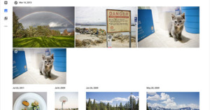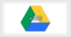
You Can Get 2GB of Free Google Storage Today
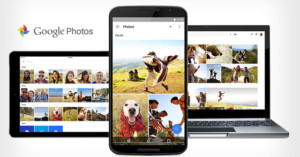
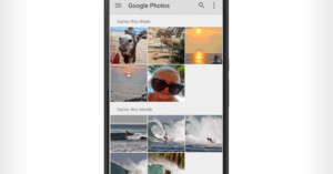
Deal alert: if you use Google's services for your photos, emails, or life in general, you can snag an extra 2GB of permanent storage space for free today. All you need to do complete Google's simple Security Checkup to verify that your account is secure -- it takes just a few clicks of your mouse.