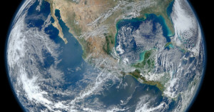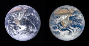
‘Blue Marble’: How Half a Century of Climate Change Has Altered the Face of the Earth
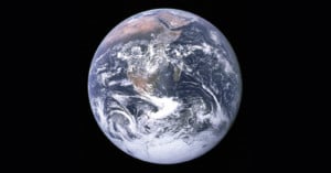
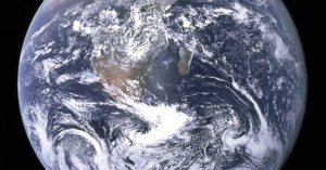
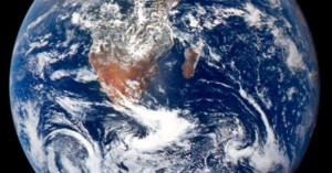
In December 1972, NASA's final Apollo mission (Apollo 17) took the iconic “Blue Marble” photo of the whole Earth. Many, including science fiction writer Arthur C. Clarke, had expected that the sight of Earth from afar would instill the belief that mankind’s future lay in space.