Geotaggers’ World Atlas Shows Where Photos Are Snapped in Major Cities
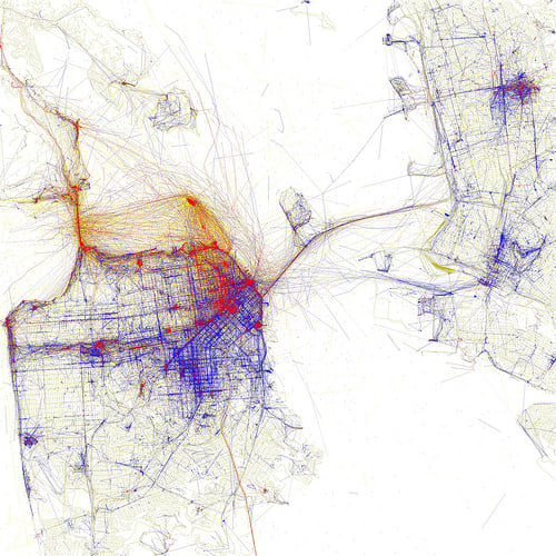
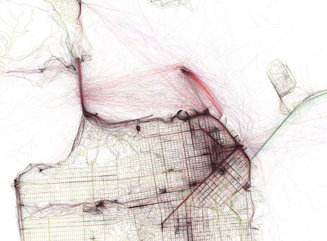
The Geotaggers’ World Atlas is an interesting series of images by Eric Fischer that shows city maps overlaid with points indicating that a photograph was taken there. The location data was obtained from Flickr and Picasa, and the resulting images are heat maps of popular photography locations.
San Francisco

New York City

London

Paris

Berlin

To see additional cities, head on over to Flickr to check out the Geotaggers’ World Atlas set.
Related Articles


Discussion